Leroy Township near Painesville in Lake County, Ohio — The American Midwest (Great Lakes)
In Commemoration of Hendrick E. Paine

Photographed by Craig Doda, May 2, 2026
1. In Commemoration of Hendrick E. Paine Marker
Who was born at East Windsor, Conn. February 14, 1789. He was a nephew of Gen. Edward Paine, founder of Painesville.
On March 18, 1818 he settled here in what has since been known as Paine's Hollow, building his log house just north of this marker and a saw mill at the brow of the falls.
An ashery and blacksmith shop were added soon after and in 1826 a furnace and forge shop were erected.
Samuel M. Phelps, an attorney of Painesville assisted in planning and financing these industries.
In 1828 Parkman Baker built a tannery nearby.
This location became the industrial center of Leroy Township and production was at high tide around 1840.
Erected by Lake County Historical Society.
Topics. This historical marker is listed in these topic lists: Industry & Commerce • Settlements & Settlers. A significant historical date for this entry is February 14, 1789.
Location. 41° 43.051′ N, 81° 8.681′ W. Marker is near Painesville, Ohio, in Lake County. It is in Leroy Township. It is at the intersection of Paine Road and Seeley Road, on the right when traveling south on Paine Road. Touch for map. Marker is at or near this postal
this page online

Regionally, this marker is in Greater Cleveland, on the Lake Erie Shore, and in the Western Reserve. It is also in the American Midwest. Globally, it is in North America, on the Great Lakes, in the Western Hemisphere, in the Western World, and in the Anglosphere. Historically, it finds itself in what was once the Haudenosaunee (Iroquois) Confederacy, the territory of the Mississippian Culture, and the Northwest Territory.
Other nearby markers. At least 8 other markers are within 4 miles of this marker, measured as the crow flies: May the Forest be With You (approx. 1.3 miles away); Edna A. Phelps (Ne Crofoot) and James A. Phelps (approx. 1.4 miles away); Indian Point / The Whittlesey People (approx. 1.4 miles away); George E. Stevens Memorial Stone (approx. 1½ miles away); Camp Wissalohichan (approx. 1½ miles away); Vrooman Road Bridge (approx. 2 miles away); Hugh Mosher and the "Spirit of '76" (approx. 3.1 miles away); Missing In Action (approx. 3.1 miles away).

Photographed by Craig Doda, May 2, 2026
2. In Commemoration of Hendrick E. Paine Marker
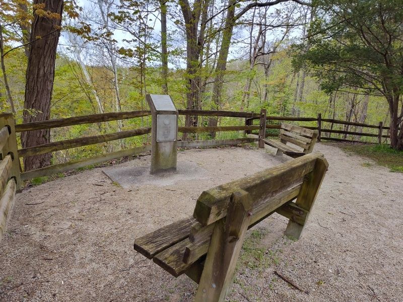
Photographed by Craig Doda, May 2, 2026
3. In Commemoration of Hendrick E. Paine Marker
Credits. This page was last revised on May 26, 2026. It was originally submitted on May 18, 2026, by Craig Doda of Napoleon, Ohio. This page has been viewed 23 times since then. Photos: 1, 2, 3. submitted on May 18, 2026, by Craig Doda of Napoleon, Ohio. • Devry Becker Jones was the editor who published this page.
