Near Somerset in Somerset County, Pennsylvania — The American Northeast (Mid-Atlantic)
Lavansville
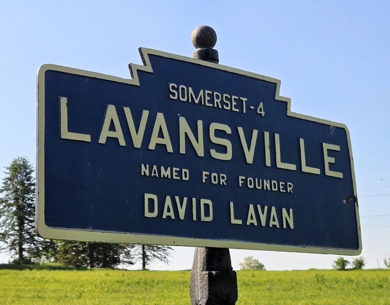
Photographed by Bradley Owen, May 18, 2026
1. Lavansville Marker
David Lavan
Topics and series. This historical marker is listed in this topic list: Settlements & Settlers. In addition, it is included in the Pennsylvania Keystone Markers series list.
Location. 40° 1.046′ N, 79° 9.583′ W. Marker is near Somerset, Pennsylvania, in Somerset County. It is on Lavansville Road 0.1 miles east of Glades Pike (Pennsylvania Route 31), on the right when traveling east. Touch for map. Marker is at or near this postal address: 154 Lavansville Road, Somerset PA 15501, United States of America. Touch for directions.

Regionally, this marker is in the Laurel Highlands. It is also in the American Northeast, in the Mid-Atlantic, in Appalachia, and specifically in Northern Appalachia. Globally, it is in North America, the Western Hemisphere, the Western World, and the Anglosphere. Historically, it finds itself in what was once the Haudenosaunee (Iroquois) Confederacy and also one of the original Thirteen Colonies.
Other nearby markers. At least 8 other markers are within 4 miles of this marker, measured as the crow flies:
this page online
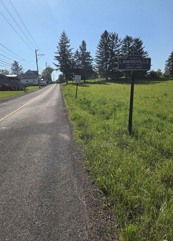
Photographed by Bradley Owen, May 18, 2026
2. Lavansville Marker
View is looking east.
Credits. This page was last revised on May 19, 2026. It was originally submitted on May 19, 2026, by Bradley Owen of Morgantown, West Virginia. This page has been viewed 9 times since then. Photos: 1, 2. submitted on May 19, 2026, by Bradley Owen of Morgantown, West Virginia.
