Midtown - Downtown in Columbia in Richland County, South Carolina — The American South (South Atlantic)
Thomas Taylor / Taylor Cemetery
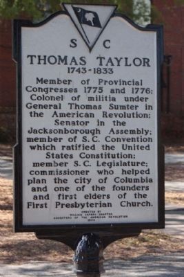
Thomas Taylor
1743 - 1833
Member of Provincial Congresses 1775 and 1776; Colonel of Militia under General Thomas Sumter in the American Revolution; Senator in the Jacksonborough Assembly; member of S.C. Convention which ratified the United States Constitution; member S.C. Legislature; commissioner who helped plan the city of Columbia and one of the founders and first elders of the First Presbyterian Church.
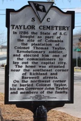
Taylor Cemetery
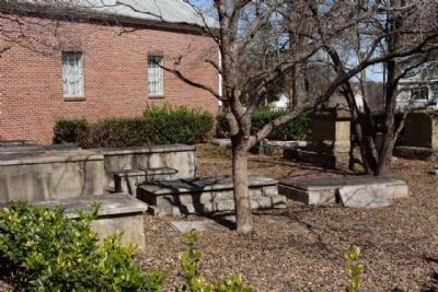
In 1786 the State of S. C. bought as part of the site of Columbia the plantation of Colonel Thomas Taylor, Revolutionary soldier, and elected him one of the commissioners to lay out the capital city. The home was situated near the southeast corner of Richland and Barnwell streets. On the northwest corner lie buried Colonel Taylor, his son Governor John Taylor and members of the family.
Erected 1968 by The William Capers Chapter, Daughters of the American Revolution. (Marker Number 40-51.)
Topics and series. This historical marker is listed in these topic lists: Cemeteries & Burial Sites • Churches & Religion • War, US Revolutionary. In addition, it is included in the Daughters of the American Revolution series list. A significant historical year for this entry is 1743.
Location. 34° 0.81′ N, 81° 1.714′ W. Marker is in Columbia, South Carolina, in Richland County. It is in Midtown - Downtown. Marker is on Richland Street near Barnwell Street, on the right when traveling west. Touch for map. Marker is in this post office area: Columbia SC 29201, United States of America. Touch for directions.
Other nearby markers. At least 8 other markers are within walking distance of this marker. Taylor Burying Ground (within shouting distance of this marker); Colonel Thomas Taylor (about 600 feet away, measured in a direct line); 1900 Block of Henderson Street / William J. Sumter (about 600 feet away); Seibels House (about 700 feet away); An Enduring Landmark (approx. 0.2 miles away); Pieces of the Past (approx. 0.2 miles away); Site of Columbia Male Academy (approx. 0.2 miles away); Hampton - Preston House (approx. ¼ mile away). Touch for a list and map of all markers in Columbia.
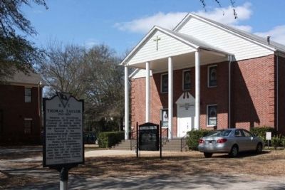
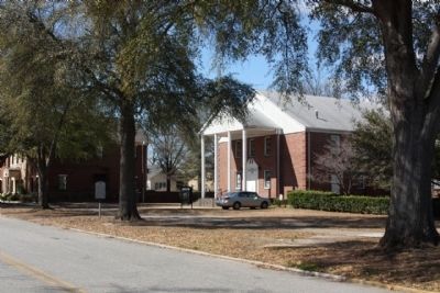
Regarding Thomas Taylor / Taylor Cemetery. The cemetery is adjacent to Taylor Evangelical Methodist Church, eastside
Also see . . . John Taylor, Wikipedia entry. (May 4, 1770 – April 16, 1832) was the 51st Governor of South Carolina. His term in office was primarily known for rallying the state to oppose federal tariffs. (Submitted on April 23, 2010, by Mike Stroud of Bluffton, South Carolina.)
Credits. This page was last revised on February 16, 2023. It was originally submitted on April 23, 2010, by Mike Stroud of Bluffton, South Carolina. This page has been viewed 2,432 times since then and 78 times this year. Photos: 1, 2, 3, 4, 5. submitted on April 23, 2010, by Mike Stroud of Bluffton, South Carolina.
