South Side in San Antonio in Bexar County, Texas — The American South (West South Central)
Mill on the Pajalache Acequia
Photographed by Jeff Leichsenring, May 18, 2026
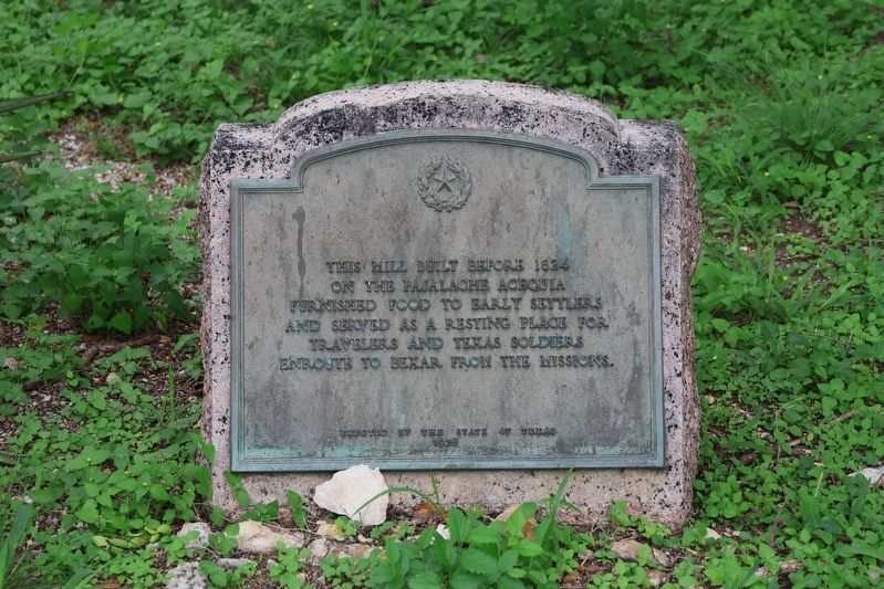
1. Mill on the Pajalache Acequia Marker
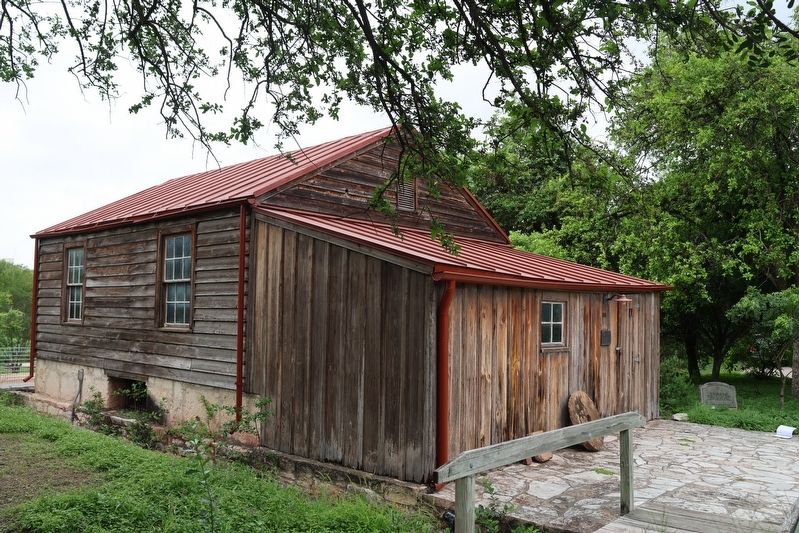
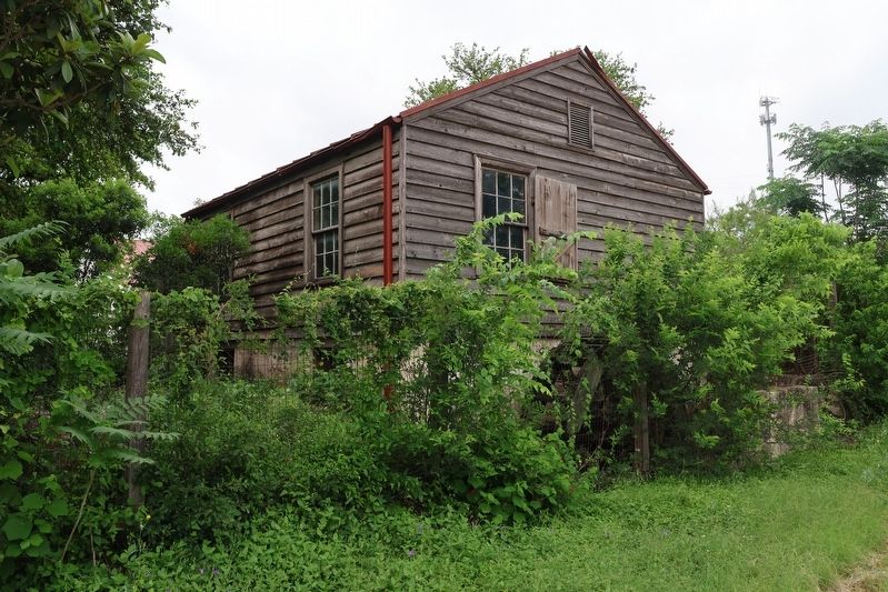
This mill built before 1824 on the Pajalache Acequia furnished food to early settlers and served as a resting place for travelers and Texas Soldiers en route to Bexar from the Missions.
Erected 1936 by State of Texas. (Marker Number 3380.)
Topics and series. This historical marker is listed in these topic lists: Industry & Commerce • Settlements & Settlers. In addition, it is included in the Texas 1936 Centennial Markers and Monuments series list. A significant historical year for this entry is 1824.
Location. 29° 23.906′ N, 98° 29.296′ W. Marker is in San Antonio, Texas, in Bexar County. It is in the South Side. It is on Mission Road north of Yellowstone Street. Inside gates of Edmundo-Yturri Property. Touch for map. Marker is at or near this postal address: 128 Mission Road, San Antonio TX 78210, United States of America. Touch for directions.

Regionally, this marker is in South Texas. It is also in the American South. Globally, it is in North America, a Gulf of Mexico state, the Western Hemisphere, the Western World, and the Anglosphere. Historically, it finds itself in what was once New Spain, the
this page online
Other nearby markers. At least 8 other markers are within walking distance of this marker: Edgewood Independent School District (within shouting distance of this marker); Yturri-Edmunds House and Mill (within shouting distance of this marker); San Antonio River Flood Control Tunnel (approx. ¼ mile away); The Quarry (approx. 0.6 miles away); Mission Concepción (approx. 0.6 miles away); SARIP Ecosystem Restoration (approx. 0.6 miles away); C.H. Guenther & Son, Inc. (approx. 0.6 miles away); Ida Margaret Schkade Tate (approx. 0.7 miles away). Touch for a list and map of all markers in San Antonio.
Also see . . . Tour information for Yturri-Edmunds historic site. (Submitted on May 19, 2026, by Jeff Leichsenring of Garland, Texas.)
Photographed by Jeff Leichsenring, May 18, 2026
2. Mill on the Pajalache Acequia Marker
Photographed by Jeff Leichsenring, May 18, 2026
3. Mill on the Pajalache Acequia
Photographed by Jeff Leichsenring, May 18, 2026
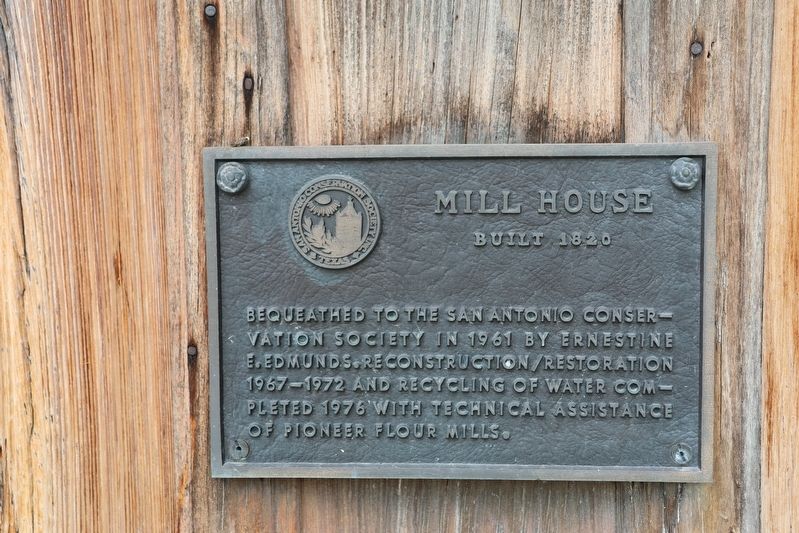
4. Mill on the Pajalache Acequia informational plaque
Credits. This page was last revised on May 21, 2026. It was originally submitted on May 19, 2026, by Jeff Leichsenring of Garland, Texas. This page has been viewed 18 times since then. Photos: 1, 2, 3, 4. submitted on May 19, 2026, by Jeff Leichsenring of Garland, Texas. • James Hulse was the editor who published this page.
