Sandwich in Windsor in Essex County, Ontario — Central Canada (North America)
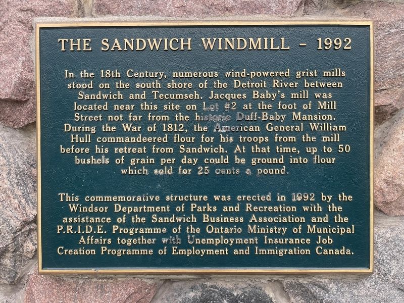
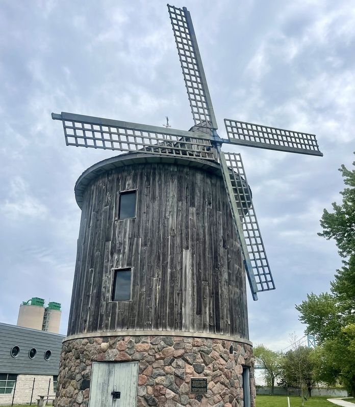
The Sandwich Windmill - 1992
Photographed by Tim Boyd, May 15, 2026
1. The Sandwich Windmill Marker
This commemorative structure was erected in 1992 by the Windsor Department of Parks and Recreation with the assistance of the Sandwich Business Association and the P.R.I.D.E. Programme of the Ontario Ministry of Municipal Affairs together with Unemployment Insurance Job Creation Programme of Employment and Immigration Canada.
Erected 1992 by City of Windsor.
Topics. This historical marker is listed in these topic lists: Industry & Commerce • War of 1812. A significant historical year for this entry is 1812.
Location. 42° 18.168′ N, 83° 4.648′ W. Marker is in Windsor, Ontario, in Essex County. It is in Sandwich.
this page online

Regionally, this marker is in the Southwest Ontario Area and in Southwestern Ontario. It is also in Central Canada. Globally, it is in North America, on the Great Lakes, in the Western Hemisphere, in the Western World, and in the Anglosphere. Historically, it finds itself in what was once a British colony, the Viceroyalty of New France, the Haudenosaunee (Iroquois) Confederacy, and Rupert’s Land.
Other nearby markers. At least 8 other markers are within walking distance of this marker: James Baby 1763-1833 / James Baby 1763-1833 (within shouting distance of this marker); Battle of Lake Erie (about 120 meters away, measured in a direct line); The Mansion on the Detroit River Frontier (about 120 meters away); Sandwich and the Underground Railroad (about 120 meters away); Fur Trade & European Settlement (about 120 meters away); Indigenous Movement of People (about 150 meters away);
Photographed by Tim Boyd, May 15, 2026
2. The Sandwich Windmill Marker
Credits. This page was last revised on May 27, 2026. It was originally submitted on May 24, 2026, by Tim Boyd of Hamilton, Ontario. This page has been viewed 21 times since then. Photos: 1, 2. submitted on May 24, 2026, by Tim Boyd of Hamilton, Ontario. • Andrew Ruppenstein was the editor who published this page.
