Englishtown in Limerick in County Limerick, Munster, Ireland — Irish South-West ((Éire) North Atlantic Ocean)
St. Mary’s Cathedral
Photographed by Ian Lefkowitz, May 13, 2026
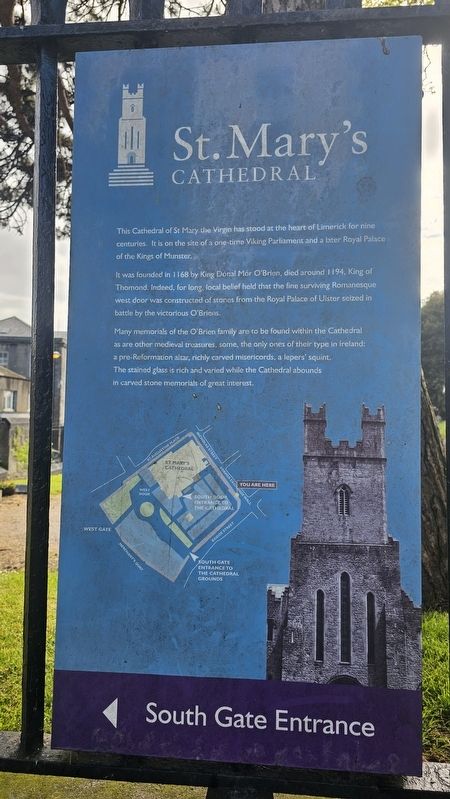
1. St. Mary’s Cathedral Marker
It was founded in 1168 by King Dónal Mór O’Brien, died around 1194, King of Thomond. Indeed, for long, local belief held that the fine surviving Romanesque west door was constructed of stones from the Royal Palace of Ulster seized in battle by the victorious O’Briens.
Many memorials of the O’Brien family are to be found within the Cathedral as are other medieval treasures, some, the only ones of their type in Ireland: a pre-Reformation altar, richly carved misericords, a lepers’ squint. The stained glass is rich and varied while the Cathedral abounds in carved stone memorials of great interest.
Topics. This historical marker is listed in this topic list: Religion & Religious Structures. A significant historical year for this entry is 1168.
Location. 52° 40.085′ N, 8° 37.362′ W. Marker is in Limerick, Munster, in County Limerick. It is in Englishtown. It is on Nicholas Street north of Bridge Street, on the left when traveling south. Touch for map. Marker is at or near this postal address: 45 Nicholas St, Limerick, Munster, Ireland. Touch for directions.

Regionally, this marker is in the Ancient East. Globally, it is on the Atlantic Ocean, in the North Atlantic Region, in Europe, on the Island of Ireland, on the Celtic Fringe, in the European Union, in Atlantic Europe, on one of the British Isles, in the Western World, and in the Anglosphere.
Other nearby markers. At least 8 other markers are within walking distance of this marker: The Graveyard (here, next to this marker); The Exchange Wall (a few steps from this marker); Bourke House (within shouting distance of this marker); The Barrington Vault (within shouting
this page online
Also see . . . Our History (St. Mary's Cathedral). (Submitted on May 24, 2026, by Ian Lefkowitz of New York, New York.)
Photographed by Ian Lefkowitz, May 13, 2026
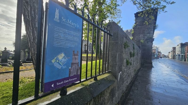
2. St. Mary’s Cathedral Marker
The marker is located on Nicholas Street, facing the street.

Photographed by John Valentine and Sons, circa 1920
3. St. Mary’s Cathedral, Limerick
Credits. This page was last revised on May 27, 2026. It was originally submitted on May 24, 2026, by Ian Lefkowitz of New York, New York. This page has been viewed 19 times since then. Photos: 1, 2. submitted on May 24, 2026, by Ian Lefkowitz of New York, New York. 3. submitted on May 27, 2026. • Andrew Ruppenstein was the editor who published this page.
