
Escalante in Garfield County, Utah — The American Mountains (Southwest)
Boy Scout Accident

Photographed by Jeremy Snow, May 13, 2026
1. Boy Scout Accident Marker
The truck stalled as it ascended the grade on your left, and its brakes failed. Rolling backward, it overturned and rolled down the steep embankment on the other side of the sharp curve from this monument. Seven scouts and six adults lost their lives in this tragic highway accident, the third worst in Utah's history.
In loving memory of those who perished:
Gary Lynn Christensen, 14 · Robert Cook, 29 · W. A. Bill Creer, 39 · Joseph William Erickson, 16 · Gordon Henry Grow, 15 · Randy E. Hall, 13 · Dorothy Hansen, 24 · Lynn Louis Merrell, 15 · Randy Wayne Miller, 14 · Marvin Porschatis, 29 · Gary Lynn Rasmussen, 15 · Dr. Merlin J. Shaw, 51 · Dr. Harvey Darrell Taylor, 45
Erected and dedicated June 10, 1993 by the families and friends of those
this page online
Erected 1993.
Topics. This historical marker is listed in this topic list: Disasters. A significant historical date for this entry is June 10, 1963.
Location. 37° 20.181′ N, 111° 4.333′ W. Marker is in Escalante, Utah, in Garfield County. It is on Hold in the Rock Rd. (at milepost 39), 39.3 miles south of Hwy 12, on the right when traveling south. Touch for map. Marker is in this post office area: Escalante UT 84726, United States of America. Touch for directions.

Regionally, this marker is in Canyon Country and specifically in Color Country. It is also in the American Mountain West, on the Colorado Plateau, and at the Four Corners. Globally, it is in North America, the Western Hemisphere, the Western World, and the Anglosphere. Historically, it finds itself in what was once New Spain and also Mexico’s Alta California.

Other nearby markers. At least one other marker is within 3 miles of this marker, measured as the crow flies: Dance Hall Rock (approx. 2.2 miles away).
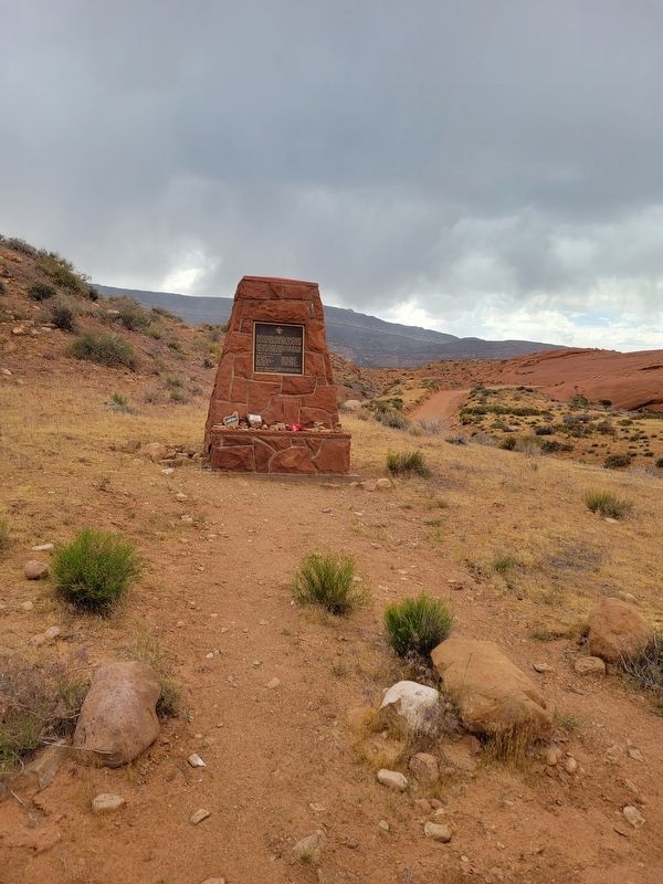
Photographed by Jeremy Snow, May 13, 2026
2. Boy Scout Accident Marker
Credits. This page was last revised on May 27, 2026. It was originally submitted on May 24, 2026, by Jeremy Snow of Cedar City, Utah. This page has been viewed 13 times since then. Photos: 1, 2. submitted on May 24, 2026, by Jeremy Snow of Cedar City, Utah. • Andrew Ruppenstein was the editor who published this page.
