Hurricane in Washington County, Utah — The American Mountains (Southwest)
Reeve House/Hurricane Hotel
Hurricane Historic District
| — | National Register of Historic Places | — |
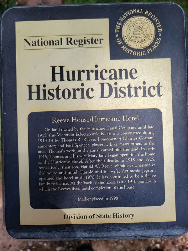
Photographed by Jeremy Snow, May 22, 2026
1. Reeve House/Hurricane Hotel Marker
Erected 1998 by Utah Division of State History.
Topics. This historical marker is listed in this topic list: Notable Buildings. A significant historical year for this entry is 1913.
Location. 37° 10.4′ N, 113° 17.281′ W. Marker is in Hurricane, Utah, in Washington County. It is on Main Street, on the left when traveling south. Touch for map. Marker is at or near this postal address: 221 Main Street,
this page online

Regionally, this marker is in Color Country. It is also in the American Southwest, in the Mountain West, and on the Colorado Plateau. Globally, it is in North America, the Rocky Mountains, the Western Hemisphere, the Western World, and the Anglosphere. Historically, it finds itself in what was once New Spain and also Mexico’s Alta California.
Other nearby markers. At least 8 other markers are within walking distance of this marker: Lateral Ditch Lines of the Hurricane Canal (here, next to this marker); Bradshaw House/Hotel (about 700 feet away, measured in a direct line); Dixie Sorghum (Molasses) Mill (about 700 feet away); Pioneer Doctor's Office (about 700 feet away); Shetlar Wagon (about 800 feet away); Spencer and Helen Isom "Home" (about 800 feet away); Heritage Home & Pioneer Corner (about 800 feet away); Grain Reaper (about 800 feet away). Touch for a list and map of all markers in Hurricane.
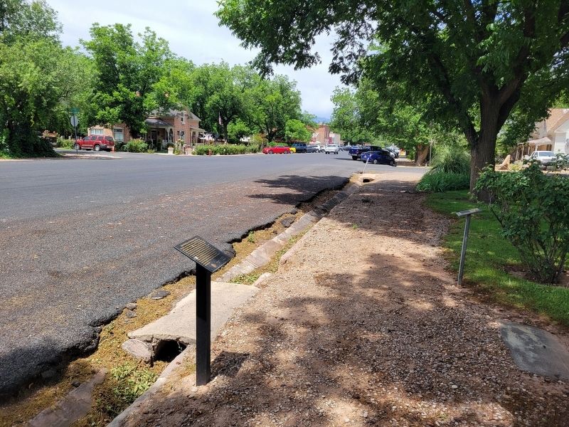
Photographed by Jeremy Snow, May 22, 2026
2. Reeve House/Hurricane Hotel Marker
House marker on right side of walkway.
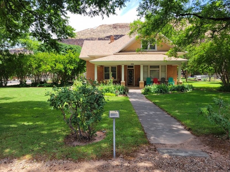
Photographed by Jeremy Snow, May 22, 2026
3. Reeve House/Hurricane Hotel Building
Credits. This page was last revised on May 27, 2026. It was originally submitted on May 24, 2026, by Jeremy Snow of Cedar City, Utah. This page has been viewed 14 times since then. Photos: 1, 2, 3. submitted on May 24, 2026, by Jeremy Snow of Cedar City, Utah. • Andrew Ruppenstein was the editor who published this page.
