Near Hobbs in Lea County, New Mexico — The American Mountains (Southwest)
Oil and Gas
Photographed by Bill Kirchner, October 25, 2012
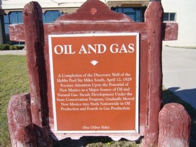
1. Oil and Gas Marker (front side)
A completion of the Discovery Well of the Hobbs Pool six miles south, April 12, 1929 focuses attention upon the potential of New Mexico as a major source of oil and natural gas. Steady development under the state conservation program, gradually moved New Mexico into sixth nationwide in oil production and fourth in gas production.
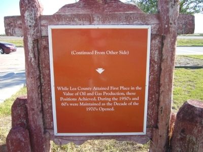
While Lea County attained first place in the value of oil and gas production, these positions, achieved during the 1950's and 60's, were maintained as the decade of the 1970's opened.
Topics. This historical marker is listed in these topic lists: Industry & Commerce • Natural Resources. A significant historical month for this entry is April 1906.
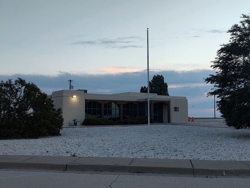
Location. Marker has been permanently removed. It was located near 32° 43.592′ N, 103° 5.385′ W. Marker was near Hobbs, New Mexico, in Lea County. It was on U.S. 62 1.2 miles west of State Line Road, on the right when traveling west. Marker is in rest area. Touch for map. Marker was in this post office area: Hobbs NM 88240, United States of America.
We have been informed that this marker is no longer there and will not be replaced. This page is an archival view of what was.
Regionally,
this page online

Other nearby markers. At least 6 other markers are within 13 miles of this location, measured as the crow flies: Hobbs Discovery Well (approx. 2.2 miles away); Llano Estacado (approx. 6 miles away); Hobbs (approx. 6.3 miles away); Hobbs Army Air Field (approx. 7.2 miles away); Hobbs 9/11 Memorial (approx. 7.2 miles away); Monument (approx. 12½ miles away).
Another marker is no longer nearby. Myrtle Attaway Farquhar (1900-1972) (was approx. 5.8 miles away but has been confirmed missing).
More about this marker. What used to be a rest area is now a weigh station.
Photographed by Bill Kirchner, October 25, 2012
2. Oil and Gas Marker (rear side)
Photographed by Bill Kirchner, October 25, 2012
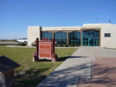
3. Oil and Gas Marker
Photographed by Jimmy Emerson, May 24, 2026
4. Oil and Gas Marker Location
Credits. This page was last revised on May 26, 2026. It was originally submitted on November 26, 2012, by Bill Kirchner of Tucson, Arizona. This page has been viewed 831 times since then and 39 times this year. Last updated on May 25, 2026, by Jimmy Emerson of Dalton, Georgia. Photos: 1, 2, 3. submitted on November 26, 2012, by Bill Kirchner of Tucson, Arizona. 4. submitted on May 24, 2026, by Jimmy Emerson of Dalton, Georgia. • Devry Becker Jones was the editor who published this page.
