King's Island in Limerick in County Limerick, Munster, Ireland — Irish South-West ((Éire) North Atlantic Ocean)
Thomond Bridge
| — | Medieval Limerick… on King’s Island | — |
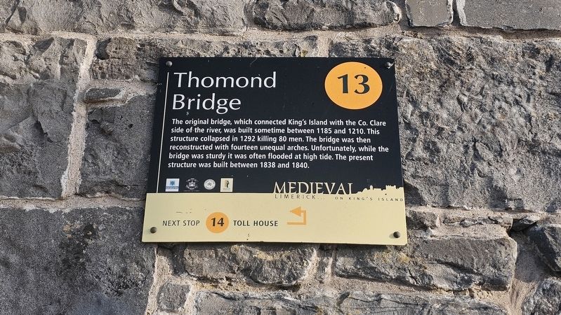
Photographed by Ian Lefkowitz, May 13, 2026
1. Thomond Bridge Marker
Topics. This historical marker is listed in these topic lists: Bridges & Viaducts • Disasters. A significant historical year for this entry is 1840.
Location. 52° 40.219′ N, 8° 37.576′ W. Marker is in Limerick, Munster, in County Limerick. It is on King's Island. It can be reached from the intersection of Castle Street and Verdant Place, on the right when traveling north. Touch for map. Marker is at or near this postal address: 1 Castle St, Limerick, Munster, Ireland. Touch for directions.

Regionally, this marker is in the Ancient East. Globally, it is on the Atlantic Ocean, in the North Atlantic Region, in Europe, on the Island of Ireland, on the Celtic Fringe, in the European Union, in Atlantic Europe, on one of the
this page online
Other nearby markers. At least 8 other markers are within walking distance of this marker: The Toll House (here, next to this marker); The North Munster Masonic Centre (within shouting distance of this marker); The Bard of Thomond (within shouting distance of this marker); The Bishop’s Palace (within shouting distance of this marker); a different marker also named Bishops Palace (within shouting distance of this marker); a different marker also named The Bishop’s Palace (within shouting distance of this marker); St Munchin’s Church (within shouting distance of this marker); King John’s Castle (within shouting distance of this marker). Touch for a list and map of all markers in Limerick.
Also see . . . Thomond Bridge, Limerick (Buildings of Ireland).
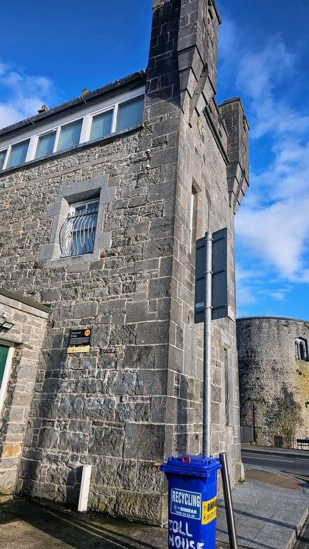
The building of a wider and more accessible Thomond Bridge, which was constructed between 1836-1838 to the design of James Pain and George Pain, gave better access to the agricultural districts of Clare. It replaced a series of previous bridges dating to the twelfth or thirteenth century, linking the west side(Submitted on May 25, 2026, by Ian Lefkowitz of New York, New York.)of the River Shannon with King's Island. The previous medieval bridge was of fourteen arches. It is believed to incorporate pier foundations from the bridge which it replaced, as survey drawings dated to 1814, demonstrating the re-use of existing historic fabric by James Pain. The proposal for the replacement was made to the Corporation in 1816 but the bridge was not built until between 1836-40.Photographed by Ian Lefkowitz, May 13, 20262. Thomond Bridge MarkerThe marker is located on the Verdant Place side of the Toll House, hidden from Castle Street.
Photographed by Ian Lefkowitz, May 13, 2026
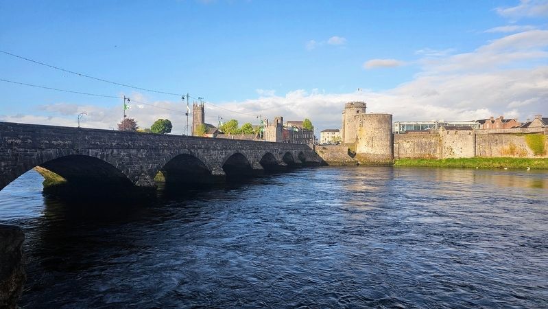
3. Thomond Bridge
Limerick's historic Thomond Bridge.
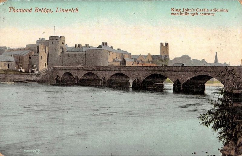
Photographed by J. Valentine and Sons, circa 1910
4. Thomond Bridge, Limerick
Credits. This page was last revised on May 27, 2026. It was originally submitted on May 25, 2026, by Ian Lefkowitz of New York, New York. This page has been viewed 12 times since then. Photos: 1, 2, 3. submitted on May 25, 2026, by Ian Lefkowitz of New York, New York. 4. submitted on May 27, 2026. • Andrew Ruppenstein was the editor who published this page.
