Effingham in Florence County, South Carolina — The American South (South Atlantic)
Masonic Hall
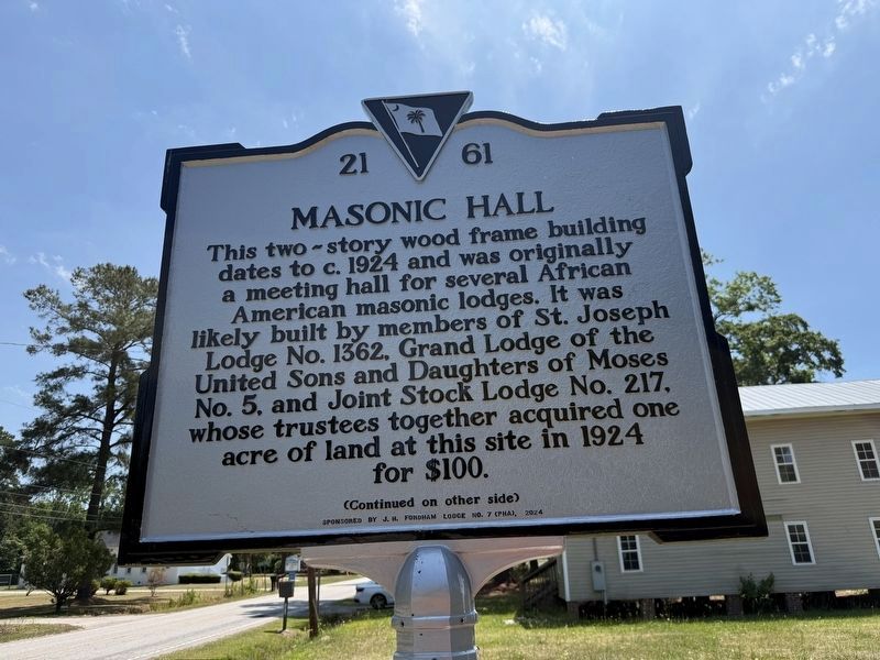
This two-story wood frame building dates to c. 1924 and was originally a meeting hall for several African American masonic lodges. It was likely built by members of St. Joseph Lodge No. 1362. Grand Lodge of the United Sons and Daughters of Moses No. 5, and Joint Stock Lodge No. 217, whose trustees together acquired one acre of land at this site in 1924 for $100.
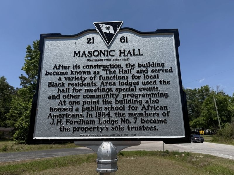
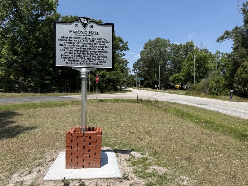
After its construction, the building became known as "The Hall" and served a variety of functions for local Black residents. Area lodges used the hall for meetings, special events, and other community programming. At one point the building also housed a public school for African Americans. In 1984, the members of J.H. Fordham Lodge No. 7 became the property's sole trustees.
Erected 2024 by South Carolina Department of Archives and History; sponsored by J.H. Fordham Lodge No. 7 (PHA). (Marker Number 21-61.)
Topics. This historical marker is listed in these topic lists: African Americans • Education • Fraternal or Sororal Organizations. A significant historical year for this entry is 1924.
Location. 34° 5.653′ N, 79° 44.168′ W. Marker is in Effingham,
this page online

Regionally, this marker is in the Pee Dee. It is also in the American South and specifically in the Deep South. Globally, it is in North America, the Western Hemisphere, the Western World, and the Anglosphere. Historically, it finds itself in what was once the territory of the Mississippian Culture, one of the original Thirteen Colonies, one of the Confederate States of America, and the Antebellum South.
Other nearby markers. At least 8 other markers are within 7 miles of this marker, measured as the crow flies: St. Beulah Missionary Baptist Church (approx. 5.8 miles away); Florence National Cemetery (approx. 6 miles away); World War II Memorial (approx. 6.1 miles away); Vietnam War Memorial (approx. 6.1 miles away); a different marker also named Florence National Cemetery (approx. 6.1 miles away); A National Cemetery System
Photographed by Devry Becker Jones (CC0), May 21, 2026
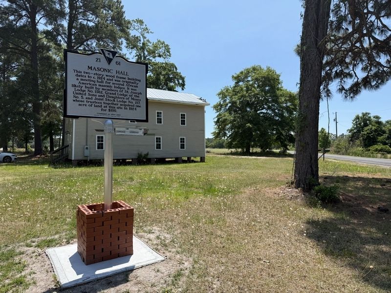
3. Masonic Hall Marker with The Hall in the background
Credits. This page was last revised on May 25, 2026. It was originally submitted on May 25, 2026, by Devry Becker Jones of Washington, District of Columbia. This page has been viewed 16 times since then. Photos: 1, 2, 3, 4. submitted on May 25, 2026, by Devry Becker Jones of Washington, District of Columbia.
