Salters in Williamsburg County, South Carolina — The American South (South Atlantic)
Union School
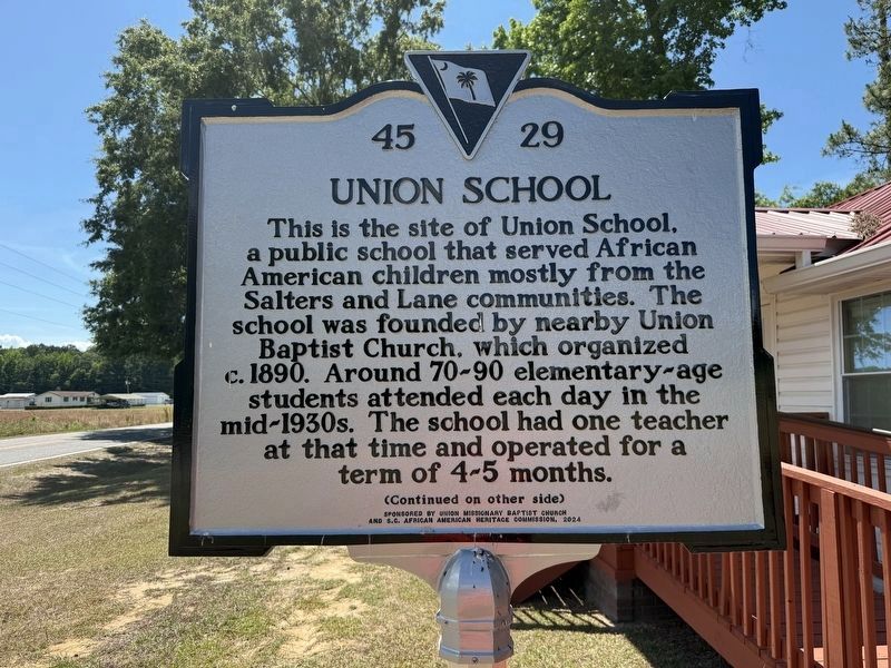
This is the site of Union School, a public school that served African American children mostly from the Salters and Lane communities. The school was founded by nearby Union Baptist Church, which organized c. 1890. Around 70-90 elementary-aged students attended each day in the mid-1930s. The school had one teacher at that time and operated for a term of 4-5 months.
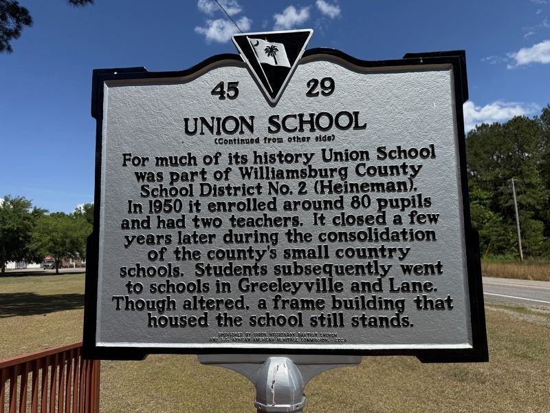
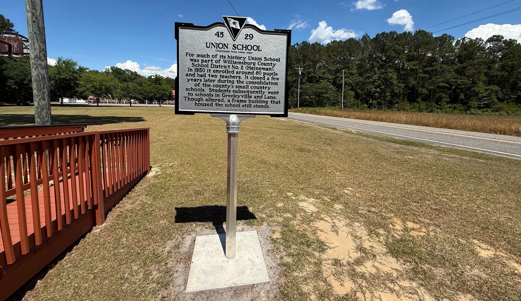
For much of its history Union School was part of Williamsburg County School District No. 2 (Heineman). In 1950 it enrolled around 80 pupils and had two teachers. It closed a few years alter during the consolidation of the county's small country schools. Students subsequently went to schools in Greeleyville and Lane. Though altered, a frame building that housed the school still stands.
Erected 2024 by South Carolina Department of Archives and History; sponsored by Union Missionary Baptist Church and S.C. African American Heritage Commission. (Marker Number 45-29.)
Topics. This historical marker is listed in these topic lists: African Americans • Education. A significant historical year for this entry is 1890.
Location. 33° 34.251′ N, 79° 54.294′ W.
this page online

Regionally, this marker is in South Carolina’s Pee Dee. It is also in the American South and specifically in the Deep South. Globally, it is in North America, the Western Hemisphere, the Western World, and the Anglosphere. Historically, it finds itself in what was once the territory of the Mississippian Culture, one of the original Thirteen Colonies, one of the Confederate States of America, and the Antebellum South.
Other nearby markers. At least 8 other markers are within 7 miles of this marker, measured as the crow flies: Union Presbyterian Church (approx. 4.1 miles away); Burrows's Service Station / Cooper's Country Store (approx. 4.8 miles away); Bethel African Methodist Episcopal Church (approx. 4.8 miles away); McCollum-Murray House (approx. 5.1 miles away); Lower Bridge: Take the Low Ground! (approx.

Credits. This page was last revised on May 25, 2026. It was originally submitted on May 25, 2026, by Devry Becker Jones of Washington, District of Columbia. This page has been viewed 11 times since then. Photos: 1, 2, 3, 4. submitted on May 25, 2026, by Devry Becker Jones of Washington, District of Columbia.
