Lislorkan North in Knockevin in County Clare, Munster, Ireland — Irish South-West ((Éire) North Atlantic Ocean)
Buskers Pitch
| — | Cliffs of Moher | — |
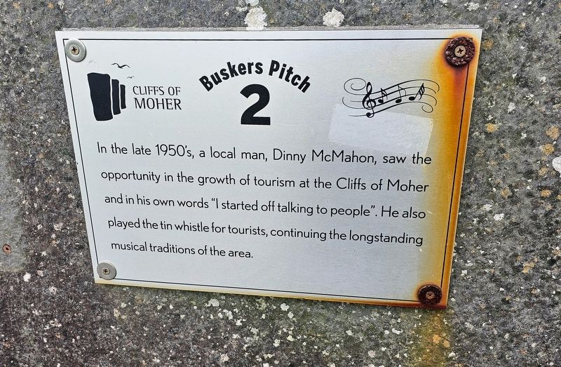
Photographed by Ian Lefkowitz, May 14, 2026
1. Buskers Pitch Marker
Topics. This historical marker is listed in these topic lists: Arts, Letters, Music • Entertainment.
Location. 52° 58.202′ N, 9° 25.685′ W. Marker is in Knockevin, Munster, in County Clare. It is in Lislorkan North. It is on Burren Way, on the right when traveling south. The marker is located cliffside, south of the Visitor Center. Touch for map. Marker is at or near this postal address: Burren Way, Knockevin, Munster, Ireland. Touch for directions.

Regionally, this marker is in the Hidden Heartlands. Globally, it is on the Atlantic Ocean, in the North Atlantic Region, in Europe, on the Island of Ireland, on the Celtic Fringe, in the European Union, in Atlantic Europe, on one of the British Isles, in the Western World, and in the Anglosphere.
Other nearby markers. At
this page online
Also see . . . Expand Cliffs of Moher Tour Guide, Co. Clare, Ireland 1967 (YouTube). <blockquote>It is only thanks to the ingenuity of local man Dinny (Dennis) J McMahon that the Cliffs of Moher have a tour guide, albeit an unofficial one. I can tell 'em all the history because I've been here all my life. (Submitted on May 27, 2026, by Ian Lefkowitz of New York, New York.)
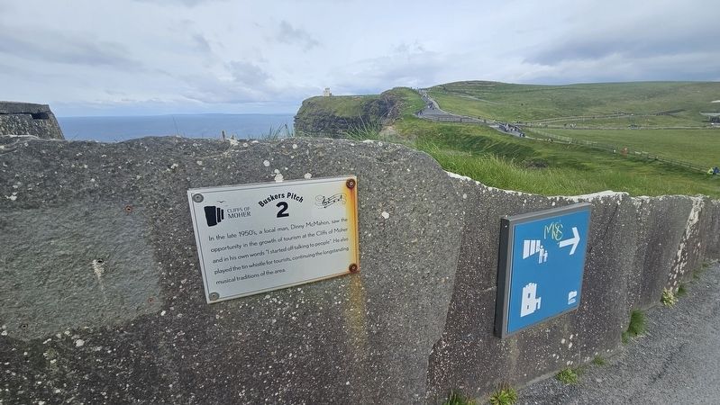
Photographed by Ian Lefkowitz, May 14, 2026
2. Buskers Pitch Marker
This marker and busking area is located south of the nearby visitor center.
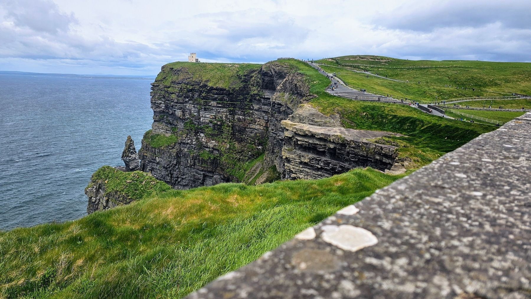
Photographed by Ian Lefkowitz, May 14, 2026
3. Buskers Pitch Marker
The Cliffs of Moher as seen from this busking location.
Credits. This page was last revised on August 26, 2026. It was originally submitted on May 27, 2026, by Ian Lefkowitz of New York, New York. This page has been viewed 15 times since then. Photos: 1, 2, 3. submitted on May 27, 2026, by Ian Lefkowitz of New York, New York. • J. J. Prats was the editor who published this page.
