Georgetown in Georgetown County, South Carolina — The American South (South Atlantic)
St. Stephen A.M.E. Church
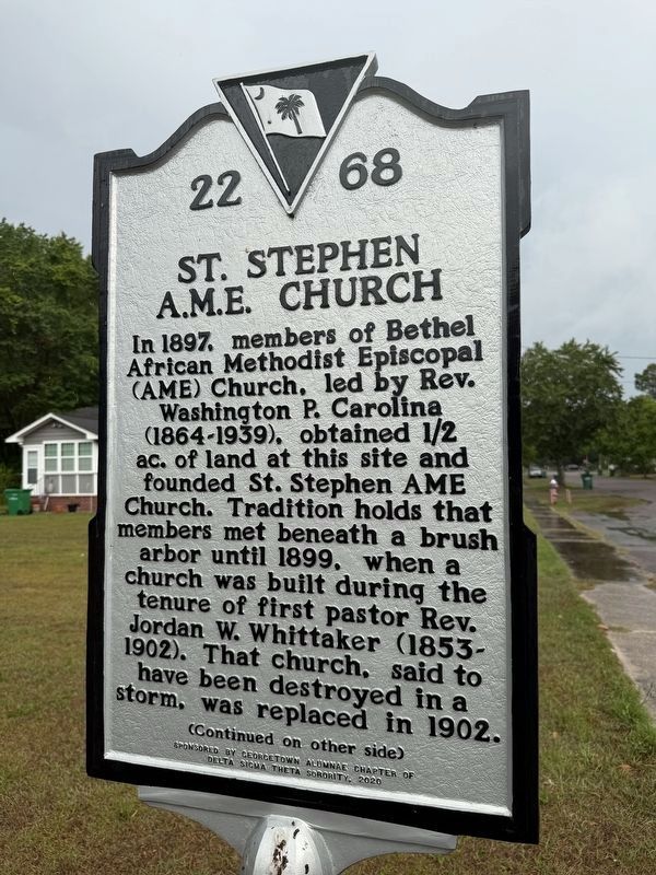
In 1897, members of Bethel African Methodist Episcopal (AME) Church, led by Rev. Washington P. Carolina (1864-1939), obtained 1/2 ac. of land at this site and founded St. Stephen AME Church. Tradition holds that members met beneath a brush arbor until 1899, when a church was built during the tenure of first pastor Rev. Jordan W. Whittaker (1853-1902). That church, said to have been destroyed in a storm, was replaced in 1902.
For more than a century, St. Stephen AME served African American residents of Georgetown's West End from this location. Here, members worshipped and hosted public events like denominational meetings, public talks, and political rallies. A white, wood frame church was built in 1940 and brick-veneered in the 1950s. St. Stephen AME moved 1 mi. NW to Highmarket St. after that third church burned on October 23, 2011.
Erected 2020 by South Carolina Department of Archives and History; sponsored by Georgetown Alumnae Chapter of Delta Sigma Theta Sorority. (Marker Number 22-68.)
Topics and series. This historical marker is listed in these topic lists: African Americans • Religion & Religious Structures.
this page online
Location. 33° 22.417′ N, 79° 17.901′ W. Marker is in Georgetown, South Carolina, in Georgetown County. It is on Winyah Street east of G Street, on the right when traveling east. Touch for map. Marker is at or near this postal address: 1915 Winyah Street, Georgetown SC 29440, United States of America. Touch for directions.

Regionally, this marker is in South Carolina’s Pee Dee and on Waccamaw Neck. It is also in the American South, specifically in the Deep South, and on the Eastern Seaboard. Globally, it is in the North Atlantic Region, North America, the Western Hemisphere, the Western World, and the Anglosphere. Historically, it finds itself in what was once the territory of the Mississippian Culture, one of the original Thirteen Colonies, one of the Confederate States of America, and the Antebellum South.
Other nearby markers. At least 8 other markers are within walking distance of this marker: Potter's Field (approx. 0.6 miles away); Winyah Schools (approx. 0.7 miles away); First Baptist Church


Credits. This page was last revised on May 27, 2026. It was originally submitted on May 27, 2026, by Devry Becker Jones of Washington, District of Columbia. This page has been viewed 11 times since then. Photos: 1, 2, 3. submitted on May 27, 2026, by Devry Becker Jones of Washington, District of Columbia.
