Artesia in Eddy County, New Mexico — The American Mountains (Southwest)
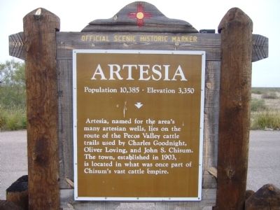
Artesia
Population 10,385 – Elevation 3,350
Photographed by Bill Kirchner, October 26, 2012
1. Artesia Marker
Erected by New Mexico Historic Preservation Division.
Topics. This historical marker is listed in this topic list: Settlements & Settlers. A significant historical year for this entry is 1903.
Location. 32° 43.357′ N, 104° 23.786′ W. Marker is in Artesia, New Mexico, in Eddy County. It is on 7 Rivers Highway (U.S. 285 at milepost 61) south of East Dayton Road, on the right when traveling south. Located at the Dayton rest area. Touch for map. Marker is in this post office area: Artesia NM 88210, United States of America. Touch for directions.

Regionally, this marker is in the Pecos Valley. It is also in the American Southwest, on the Great Plains, on the Southern Plains, and specifically on the High Plains. Globally, it is in North America, the Western Hemisphere, the Western World, and the Anglosphere. Historically, it finds itself in what was once New
this page online
Other nearby markers. At least 8 other markers are within 9 miles of this marker, measured as the crow flies: Seven Rivers Cemetery (a few steps from this marker); Castaño de Sosa’s Route (approx. 6 miles away); Abo Elementary School and Fallout Shelter (approx. 7.7 miles away); The Mauldin-Hall House (approx. 8 miles away); The Gesler House (approx. 8 miles away); The Atkeson-Conner House (approx. 8 miles away); The Lukins House (approx. 8.1 miles away); The Baskin House (approx. 8.2 miles away). Touch for a list and map of all markers in Artesia.
Photographed by Bill Kirchner, October 26, 2012
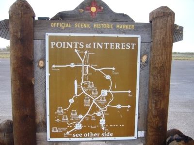
2. Back of Artesia Marker
Points of Interest
New Mexico's Historic Markers typically have a map on the back side showing the location of other OSHM's. This is an excellent source of information when exploring for other Historical Markers and locations.
New Mexico's Historic Markers typically have a map on the back side showing the location of other OSHM's. This is an excellent source of information when exploring for other Historical Markers and locations.
Photographed by Bill Kirchner, October 26, 2012
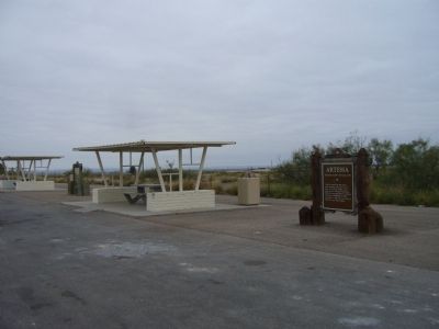
3. Artesia Marker
Photographed by Jimmy Emerson, May 24, 2026
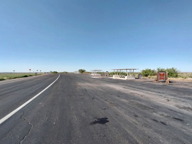
4. Artesia and Seven Rivers Cemetery Markers
Credits. This page was last revised on May 28, 2026. It was originally submitted on November 28, 2012, by Bill Kirchner of Tucson, Arizona. This page has been viewed 866 times since then and 42 times this year. Last updated on May 28, 2026, by Jimmy Emerson of Dalton, Georgia. Photos: 1, 2, 3. submitted on November 28, 2012, by Bill Kirchner of Tucson, Arizona. 4. submitted on May 28, 2026, by Jimmy Emerson of Dalton, Georgia. • Devry Becker Jones was the editor who published this page.
