Wallingford Center in South Central Region, Connecticut — The American Northeast (New England)
Wallingford Veterans Memorial Flagpole
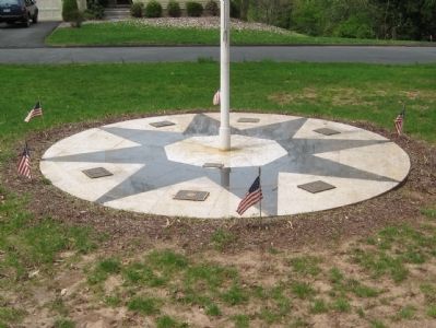
Photographed by Michael Herrick, April 13, 2010
1. Wallingford Veterans Memorial Flagpole
Topics. This historical marker is listed in this topic list: Military.
Location. 41° 28.019′ N, 72° 48.711′ W. Marker is in Wallingford in South Central Region, Connecticut. It is in Wallingford Center. It is at the intersection of North Main Street and Cedar Lane, on the left when traveling north on North Main Street. Located in Triangle Park. Touch for map. Marker is in this post office area: Wallingford CT 06492, United States of America. Touch for directions.

Regionally, this marker is in the Connecticut River Valley, on the Connecticut Shoreline, and in Greater New Haven. It is also in the American Northeast and in New England. Globally, it is in North America, the Western Hemisphere, the Western World, and the Anglosphere. Historically, it finds itself in what was once New Haven County and also one of the original Thirteen Colonies.
Other nearby markers. At least 8 other markers are within walking distance of this marker: Wallingford Revolutionary War Memorial (here, next to this marker); Wallingford Soldiers Monument (a few steps from this marker);
this page online
Additional keywords. Veterans
Photographed by Michael Herrick, April 13, 2010
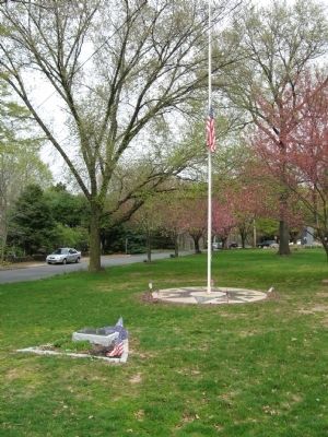
2. Wallingford Veterans Memorial Flagpole
In the foreground is the Wallingford Revolutionary War Memorial.
Photographed by Michael Herrick, April 13, 2010
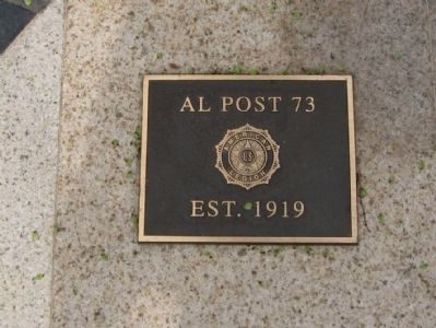
3. Plaque on the Memorial
Est. 1919
Photographed by Michael Herrick, April 13, 2010
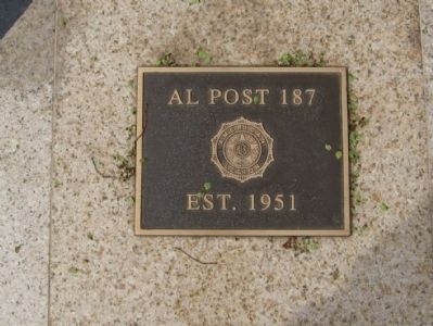
4. Plaque on the Memorial
Est. 1951
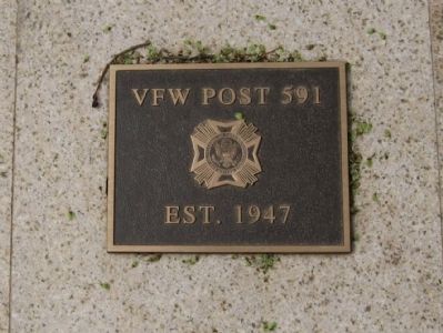
Photographed by Michael Herrick, April 13, 2010
5. Plaque on the Memorial
Est. 1947
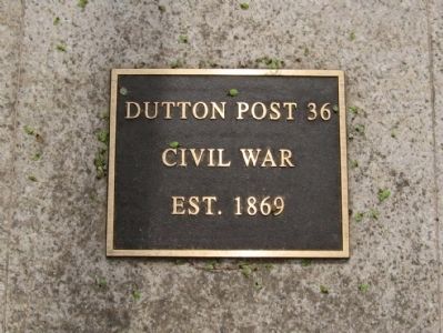
Photographed by Michael Herrick, April 13, 2010
6. Plaque on the Memorial
Civil War
Est. 1869
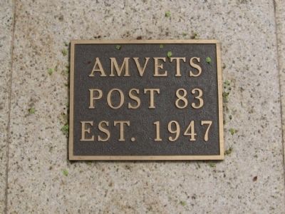
Photographed by Michael Herrick, April 13, 2010
7. Plaque on the Memorial
Post 83
Est. 1947
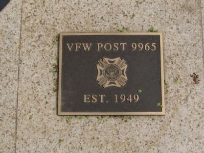
Photographed by Michael Herrick, April 13, 2010
8. Plaque on the Memorial
Est. 1949
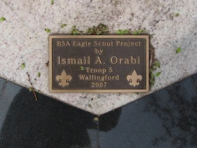
Photographed by Michael Herrick, April 13, 2010
9. Plaque on the Memorial
by
Ismail A. Orabi
Troop 5
Wallingford
2007
Credits. This page was last revised on May 19, 2026. It was originally submitted on April 25, 2010, by Michael Herrick of Southbury, Connecticut. This page has been viewed 1,288 times since then and 34 times this year. Photos: 1, 2, 3, 4, 5, 6, 7, 8, 9. submitted on April 25, 2010, by Michael Herrick of Southbury, Connecticut.
