
Summerton in Clarendon County, South Carolina — The American South (South Atlantic)
Siege of Fort Watson, April 16-23, 1781
Photographed by Devry Becker Jones (CC0), May 22, 2026
1. Siege of Fort Watson, April 16-23, 1781 Marker
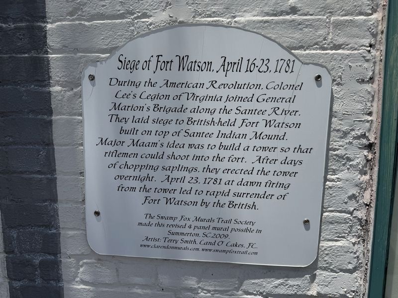
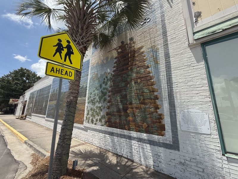
During the American Revolution, Colonel Lee's Legion of Virginia joined General Marion's Brigade along the Santee River. They laid siege to British-held Fort Watson built on top of Santee Indian Mound. Major Maam's idea was to build a tower so that riflemen could shoot into the fort. After days of chopping saplings, they erected the tower overnight. April 23, 1781 at dawn firing from the tower led to rapid surrender of Fort Watson by the British.
Artist: Terry Smith, Land O' Lakes, FL
Erected 2009 by The Swamp Fox Murals Trail Society; Terry Smith, Artist.
Topics and series. This historical marker is listed in these topic lists: Forts and Castles • War, US Revolutionary. In addition, it is included in the Francis Marion Trail series list. A significant historical date for this entry is April 23, 1781.
Location. 33° 36.482′ N, 80° 20.979′ W. Marker is in Summerton, South Carolina, in Clarendon County. It is at the intersection of South Dukes Street and Main Street, on the right when traveling south on South Dukes Street.
this page online

Regionally, this marker is in South Carolina’s Pee Dee and in Santee Cooper Country. It is also in the American South and specifically in the Deep South. Globally, it is in North America, the Western Hemisphere, the Western World, and the Anglosphere. Historically, it finds itself in what was once the territory of the Mississippian Culture, one of the original Thirteen Colonies, one of the Confederate States of America, and the Antebellum South.
Other nearby markers. At least 8 other markers are within walking distance of this marker: The Patriot and the Redcoat (within shouting distance of this marker); Wagon Travel (within shouting distance of this marker); Senn's Mill (about 600 feet away, measured in a direct line); Patriot Departs to Ride with Marion (about 600 feet away); St. Mary Catholic Church (approx. 0.2 miles away); Elusive Francis Marion, 1780-1781 (approx. 0.2 miles away); Summerton Presbyterian Church (approx. 0.2 miles away); Veterans Memorial (approx. ¼ mile
Another marker is no longer nearby. Siege of Fort Watson (was a few steps from this marker but has been replaced with another marker now near it).
Credits. This page was last revised on May 28, 2026. It was originally submitted on May 28, 2026, by Devry Becker Jones of Washington, District of Columbia. This page has been viewed 20 times since then. Photos: 1, 2. submitted on May 28, 2026, by Devry Becker Jones of Washington, District of Columbia.
