Magnolia Plantation and Gardens in North Charleston in Charleston County, South Carolina — The American South (South Atlantic)
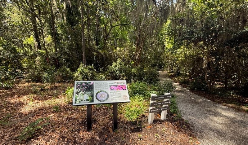
Camellias: Up on a Pedestal
| — | Magnolia Plantation & Gardens | — |
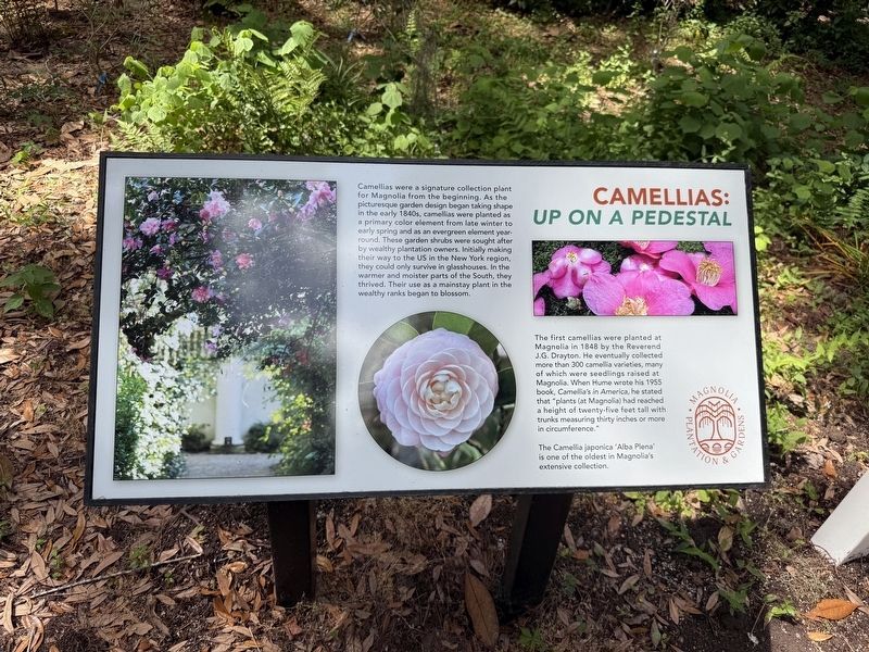
Camellias were a signature collection plant for Magnolia from the beginning. As the picturesque garden design began taking shape in the early 1840s, camellias were planted as a primary color element from late winter to early spring and as an evergreen element year-round. These garden shrubs were sought after by wealthy plantation owners. Initially making their way to the US in the New York region, warmer and moister parts of the South, they thrived. Their use as a mainstay plant in the wealthy ranks began to blossom.
The first camellias were planted at Magnolia in 1848 by the Reverend J.G. Drayton. He eventually collected more than 300 camellia varieties, many of which were seedlings raised at Magnolia. When Hume wrote his 1955 book, Camellia's in America, he stated that "plants (at Magnolia) had reached a height of twenty-five feet tall with trunks measuring thirty inches or more in circumference."
The Camellia japonica 'Alba Plena' is one of the oldest in Magnolia's extensive collection.
Erected by Magnolia Plantation & Gardens.
Topics. This historical marker is listed in this topic list: Horticulture & Forestry. A significant historical year for this entry is 1848.
Location. 32° 52.698′ N,
this page online

Regionally, this marker is in the Lowcountry. It is also in the American South, specifically in the Deep South, and on the Eastern Seaboard. Globally, it is in the North Atlantic Region, North America, the Western Hemisphere, the Western World, and the Anglosphere. Historically, it finds itself in what was once the territory of the Mississippian Culture, one of the original Thirteen Colonies, one of the Confederate States of America, and the Antebellum South.
Other nearby markers. At least 8 other markers are within walking distance of this marker: William Henry Drayton (about 500 feet away, measured in a direct line); The Earthquake of 1886 (about 500 feet away); Azaleas (about 500 feet away); The Ashley River (about 700 feet away); The Magnolia Houses (about
Credits. This page was last revised on August 26, 2026. It was originally submitted on May 28, 2026, by Devry Becker Jones of Washington, District of Columbia. This page has been viewed 11 times since then. Photos: 1, 2. submitted on May 28, 2026, by Devry Becker Jones of Washington, District of Columbia.
