Magnolia Plantation and Gardens in Charleston in Charleston County, South Carolina — The American South (South Atlantic)
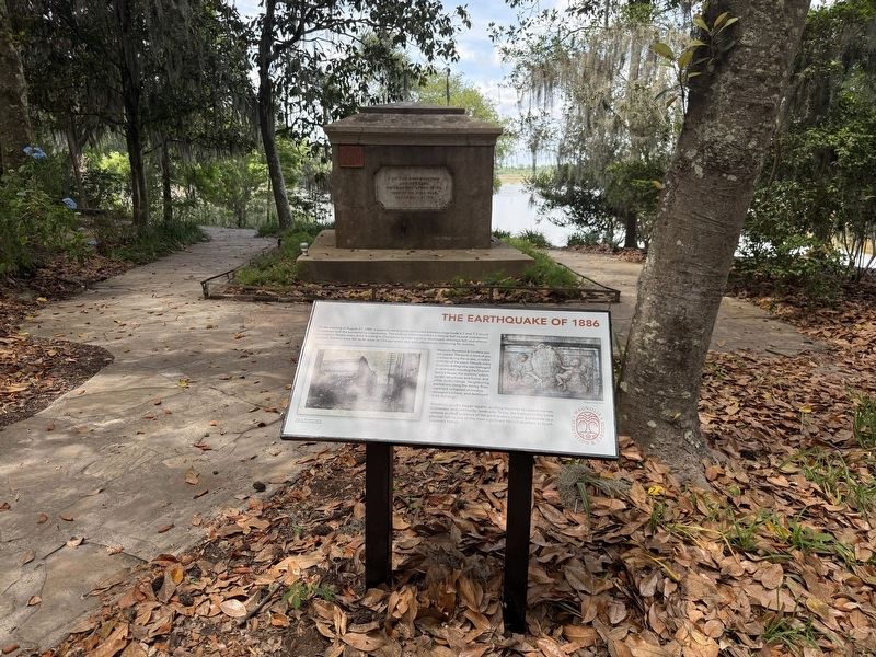
The Earthquake of 1886
| — | Magnolia Plantation & Gardens | — |

On the evening of August 31, 1886, a powerful earthquake estimated between magnitude 6.7 and 7.3 struck Charleston and the surrounding Lowcountry. The shaking lasted less than a minute but caused widespread destruction. Nearly every brick building in Charleston was damaged or destroyed, chimneys fell, and streets buckled. Tremors were felt as far away as Chicago and Cuba, with aftershocks continuing for months.
Magnolia Plantation & Gardens was not spared. The tomb in front of you cracked during the quake, a visible reminder of the event. Virtually every structure at Magnolia was damaged or destroyed, including the Drayton family's house, the workers' cabins, garden structures and barns, and other outbuildings. Neighboring plantations along the Ashley River reported collapsed chimneys, damaged kitchens, and destroyed brick buildings.
Residents quickly began repairs, working together to restore homes, businesses, and community landmarks. Today, the fracture in this tomb remains as clear evidence of the earthquake's impact and stands as a physical link to one of the most significant natural disasters in South Carolina's
this page online
Erected by Magnolia Plantation & Gardens.
Topics. This historical marker is listed in this topic list: Disasters. A significant historical date for this entry is August 31, 1886.
Location. 32° 52.64′ N, 80° 4.963′ W. Marker is in Charleston, South Carolina, in Charleston County. It is in Magnolia Plantation and Gardens. It can be reached from Magnolia Plantation Road east of Nursery Road, on the right when traveling east. Touch for map. Marker is at or near this postal address: 3550 Ashley River Rd, Charleston SC 29414, United States of America. Touch for directions.

Regionally, this marker is in the Lowcountry. It is also in the American South, specifically in the Deep South, and on the Eastern Seaboard. Globally, it is in the North Atlantic Region, North America, the Western Hemisphere, the Western World, and the Anglosphere. Historically, it finds itself in what was once the territory of the Mississippian Culture, one of the original Thirteen Colonies, one of the Confederate States of America, and the Antebellum South.
Other nearby markers. At least 8 other markers are within walking distance of this marker: William Henry Drayton
Credits. This page was last revised on August 26, 2026. It was originally submitted on May 28, 2026, by Devry Becker Jones of Washington, District of Columbia. This page has been viewed 17 times since then. Photos: 1, 2. submitted on May 28, 2026, by Devry Becker Jones of Washington, District of Columbia.
