Near Gloucester in Gloucester County, Virginia — The American South (Mid-Atlantic)
Gloucester Agricultural and Industrial School
Inscription.
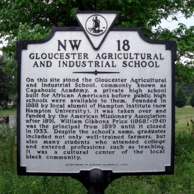
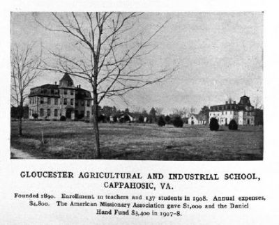
On this site stood the Gloucester Agricultural and Industrial School, commonly known as Capahosic Academy, a private high school built for African Americans before public high schools were available to them. Founded in 1888 by local alumni of Hampton Institute (now Hampton University), it was taken over and funded by the American Missionary Association after 1891. William Gibbons Price (1868?-1941) was the principal from 1899 until it closed in 1933. Despite the school's name, graduates included not only well-trained farmers, but also many students who attended college and entered professions such as teaching. It was a cultural center of the local black community.
Erected 2000 by Department of Historic Reources. (Marker Number NW-18.)
Topics and series. This historical marker is listed in these topic lists: African Americans • Agriculture • Education • Industry & Commerce. In addition, it is included in the Historically Black Colleges and Universities, and the Virginia Department of Historic Resources (DHR) series lists. A significant historical year for this entry is 1888.
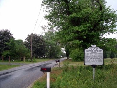
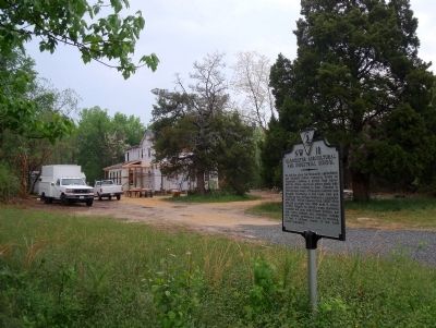
Location. 37° 22.999′ N, 76° 37.679′ W. Marker is near Gloucester, Virginia, in Gloucester County. Marker is on Cappahosic Road (Virginia Route 618) 0.1 miles north of Foxhaven Drive, on the right when traveling south. Touch for map. Marker is in this post office area: Gloucester VA 23061, United States of America. Touch for directions.
Other nearby markers. At least 8 other markers are within 6 miles of this marker, measured as the crow flies. Cappahosic (approx. 0.3 miles away); Bethel Baptist Church (approx. 2.1 miles away); Walter Reed Birthplace (approx. 2.2 miles away); Marlfield (approx. 5.1 miles away); Powhatan’s Headquarters (approx. 5.1 miles away); Indian Princess Pocahontas (approx. 5½ miles away); a different marker also named Cappahosic (approx. 5½ miles away); Zion Poplars Baptist Church (approx. 5.6 miles away). Touch for a list and map of all markers in Gloucester.
Credits. This page was last revised on November 5, 2021. It was originally submitted on April 25, 2010, by Bernard Fisher of Richmond, Virginia. This page has been viewed 1,464 times since then and 65 times this year. Photos: 1, 2, 3, 4. submitted on April 25, 2010, by Bernard Fisher of Richmond, Virginia.


