Heidrick in Knox County, Kentucky — The American South (East South Central)
Trace Branch United Methodist Church
Photographed by Jimmy Emerson, 2018
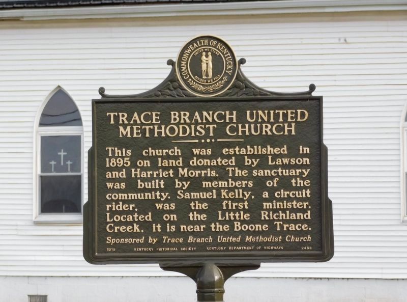
1. Trace Branch United Methodist Church Marker
This church was established in 1895 on land donated by Lawson and Harriet Morris. The sanctuary was built by members of the community. Samuel Kelly, a circuit rider, was the first minister. Located on the Little Richland Creek, it is near the Boone Trace.
Erected 2015 by Kentucky Historical Society and Kentucky Department of Highways. (Marker Number 2458.)
Topics. This historical marker is listed in this topic list: Religion & Religious Structures. A significant historical year for this entry is 1895.
Location. 36° 54.23′ N, 83° 51.728′ W. Marker is in Heidrick, Kentucky, in Knox County. It is at the intersection of State Highway 11 and Trace Branch Road, on the right when traveling north on State Highway 11. Touch for map. Marker is at or near this postal address: 47 Trace Branch Rd, Heidrick KY 40949, United States of America. Touch for directions.

Regionally, this marker is in Eastern Kentucky and in the Cumberland Plateau. It is also in the American South, specifically in the Upper South, in Appalachia, and specifically in Southern Appalachia. Globally,
this page online
Other nearby markers. At least 8 other markers are within 3 miles of this marker, measured as the crow flies: First Cabin in Kentucky (approx. 2.7 miles away); The Minton Memorial (approx. 2.7 miles away); Union College (approx. 2.8 miles away); Camp Andy Johnson (approx. 2.8 miles away); First House in Kentucky (approx. 2.8 miles away); The Battle of Barbourville (approx. 2.9 miles away); a different marker also named The Battle of Barbourville (approx. 2.9 miles away); Civil War Actions (approx. 2.9 miles away).
Photographed by Jimmy Emerson, 2018
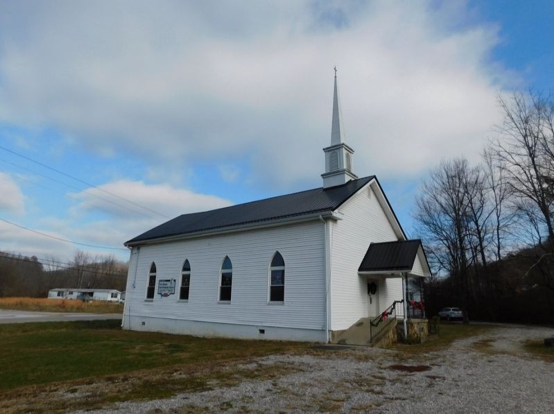
2. Trace Branch United Methodist Church
Credits. This page was last revised on June 4, 2026. It was originally submitted on May 30, 2026, by Jimmy Emerson of Dalton, Georgia. This page has been viewed 11 times since then. Photos: 1, 2. submitted on May 30, 2026, by Jimmy Emerson of Dalton, Georgia. • James Hulse was the editor who published this page.
