Near Ellenboro in Ritchie County, West Virginia — The American South (Appalachia)
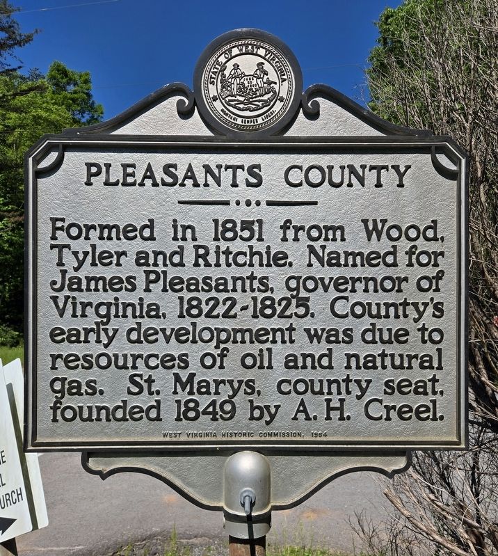
Pleasants County
⎯⎯⎯
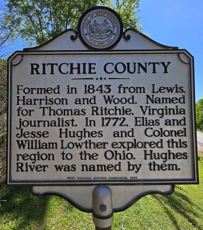
Ritchie County
Photographed by Bradley Owen, May 29, 2026
1. Pleasants County / Ritchie County Marker
Pleasants County
Formed in 1851 from Wood, Tyler and Ritchie. Named for James Pleasants, governor of Virginia, 1822-1825. County's early development was due to resources of oil and natural gas. St. Marys, county seat, founded 1849 by A. H. Creel.
Ritchie County
Formed in 1843 from Lewis, Harrison and Wood. Named for Thomas Ritchie, Virginia journalist. In 1772, Elias and Jesse Hughes and Colonel William Lowther explored this region to the Ohio. Hughes River was named by them.
Erected 1964 by West Virginia Historic Commission.
Topics and series. This historical marker is listed in these topic lists: Political Subdivisions • Settlements & Settlers. In addition, it is included in the West Virginia Archives and History series list. A significant historical year for this entry is 1851.
Location. 39° 19.604′ N, 81° 5.799′ W. Marker is near Ellenboro, West Virginia, in Ritchie County. It is at the intersection of Pike Road (West Virginia Route 16) and Rock Run Road ( Route 30), on the right when traveling north on Pike Road. Touch for map. Marker is at or near this postal address: 32 Rock Run Road, Ellenboro
this page online

Regionally, this marker is in the Little Kanawha Valley and specifically in the Mid-Ohio Valley. It is also in the American South, specifically in the Upper South, in Appalachia, and specifically in Northern Appalachia. Globally, it is in North America, the Western Hemisphere, the Western World, and the Anglosphere. Historically, it finds itself in what was once the territory of the Mississippian Culture.
Other nearby markers. At least 8 other markers are within 8 miles of this marker, measured as the crow flies: Vietnam War Memorial (approx. 7.3 miles away); Alexander H. Creel (approx. 7.3 miles away); Raid on St. Marys (approx. 7.3 miles away); St. Marys (approx. 7.3 miles away); The Stone House (approx. 7.3 miles away); Pleasants County Veterans Memorial (approx. 7.3 miles away); Veterans Memorial Park (approx. 7.3 miles away); The St. Mary's Oracle (approx. 7.3 miles away).
Photographed by Bradley Owen, May 29, 2026
2. Pleasants County / Ritchie County Marker

Photographed by Bradley Owen, May 29, 2026
3. Pleasants County / Ritchie County Marker
View is looking northwest.
Photographed by Bradley Owen, May 29, 2026
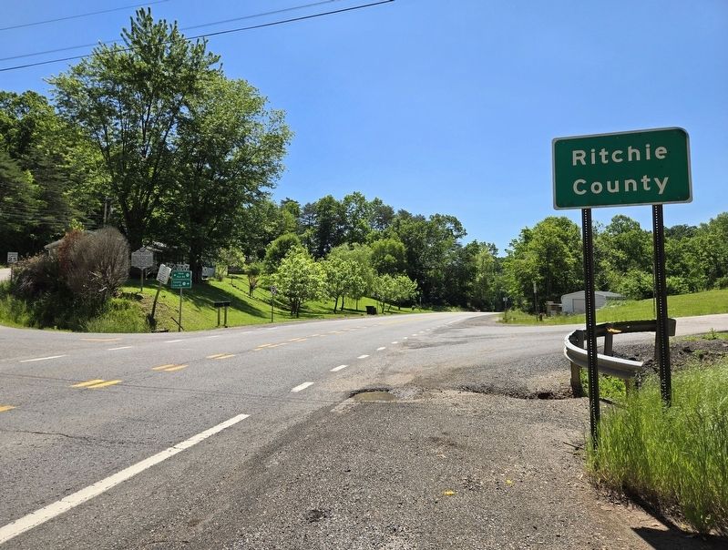
4. Pleasants County / Ritchie County Marker
View is looking southeast. Marker is located on the far left side of the road.
Credits. This page was last revised on May 31, 2026. It was originally submitted on May 31, 2026, by Bradley Owen of Morgantown, West Virginia. This page has been viewed 8 times since then. Photos: 1, 2, 3, 4. submitted on May 31, 2026, by Bradley Owen of Morgantown, West Virginia.
