Goshen in Elkhart County, Indiana — The American Midwest (Great Lakes)
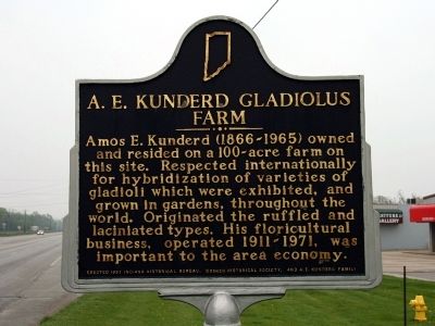
A. E. Kunderd Gladiolus Farm
Amos E. Kunderd (1866 - 1965) owned and resided on a 100-acre farm on this site. Respected internationally for hybridization of varieties of gladioli which were exhibited, and grown in gardens, throughout the world. Originated the ruffled and laciniated types. His floricultural business, operated 1911-1971, was important to the area economy.
Erected 1997 by Indiana Historical Bureau, Goshen Historical Society, and A.E. Kunderd Family. (Marker Number 20.1997.1.)
Topics and series. This historical marker is listed in these topic lists: Agriculture • Industry & Commerce. In addition, it is included in the Indiana Historical Bureau Markers series list.
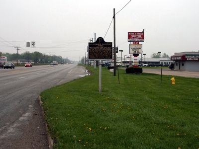
Location. 41° 36.52′ N, 85° 52.71′ W. Marker is in Goshen, Indiana, in Elkhart County. Marker is at the intersection of U.S. 33 and County Road 28, on the right when traveling south on U.S. 33. This section of US Highway 33 is known locally as Elkhart Road. Street signs might indicate "US 33", or "Elkhart Road", or both. Touch for map. Marker is in this post office area: Goshen IN 46526, United States of America. Touch for directions.
Other nearby markers. At least 8 other markers are within 3 miles of this marker, measured as the crow flies. Indiana Territory Line (approx. 0.8 miles away); Fort Wayne Street Bridge (approx. 1.9 miles away); The County Farm (approx. 1.9 miles away); Elkhart County Home Cemetery (approx. 2.2 miles away); Oakridge Cemetery (approx. 2.2 miles away); St. John's Lutheran Church (approx. 2.4 miles away); West Goshen Cemetery (approx. 2˝ miles away); Millrace Hydraulic Canal - Hawks Electric Company (approx. 2.6 miles away). Touch for a list and map of all markers in Goshen.
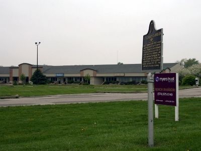
More about this marker. This is a very busy highway and intersection. However the marker can be easily accessed from a parking lot located just west of the marker.
Credits. This page was last revised on August 14, 2021. It was originally submitted on April 26, 2010, by Dave Zollinger of Goshen, Indiana. This page has been viewed 1,963 times since then and 64 times this year. Photos: 1, 2, 3. submitted on April 26, 2010, by Dave Zollinger of Goshen, Indiana. • Syd Whittle was the editor who published this page.


