Tumwater in Thurston County, Washington — The American West (Northwest)
Tumwater Brewery Kettle
Photographed by Shirley A Stirling, June 2, 2026
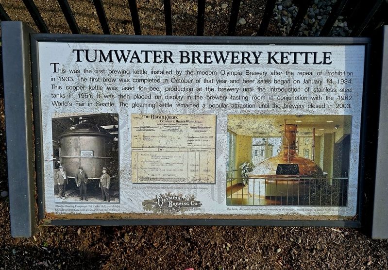
1. Tumwater Brewery Kettle Marker
This was the first brewing kettle installed by the modern Olympia Brewery after the repeal of Prohibition in 1933. The first brew was completed in October of that year and beer sales began on January 14, 1934. This copper kettle was used for beer production at the brewery until the introduction of stainless steel tanks in 1951. It was then placed on display in the brewery tasting room in conjunction with the 1962 World's Fair in Seattle. The gleaming kettle remained a popular attraction until the brewery closed in 2003.
Topics. This historical marker is listed in this topic list: Industry & Commerce. A significant historical date for this entry is January 14, 1934.
Location. 46° 59.094′ N, 122° 54.719′ W. Marker is in Tumwater, Washington, in Thurston County. It is at the intersection of Israel Road Southwest and 6th Ave SW, on the left when traveling west on Israel Road Southwest. Touch for map. Marker is at or near this postal address: 555 Israel Road SW, Olympia WA 98501, United States of America. Touch for directions.

Regionally, this marker is in the Puget Sound Region and in Greater Seattle. It is also on the American Pacific
this page online
Other nearby markers. At least 8 other markers are within 3 miles of this marker, measured as the crow flies: Tumwater (approx. 2 miles away); Oregon Trail (approx. 2.1 miles away); a different marker also named Oregon Trail (approx. 2.1 miles away); Soldiers' Monument (approx. 2.2 miles away); A house from the early 20th century (approx. 2.4 miles away); The Port Townsend Southern Railroad (approx. 2.4 miles away); A House from the Pioneer Era (approx. 2½ miles away); Crosby House (approx. 2½ miles away). Touch for a list and map of all markers in Tumwater.
Photographed by Shirley A Stirling, June 2, 2026
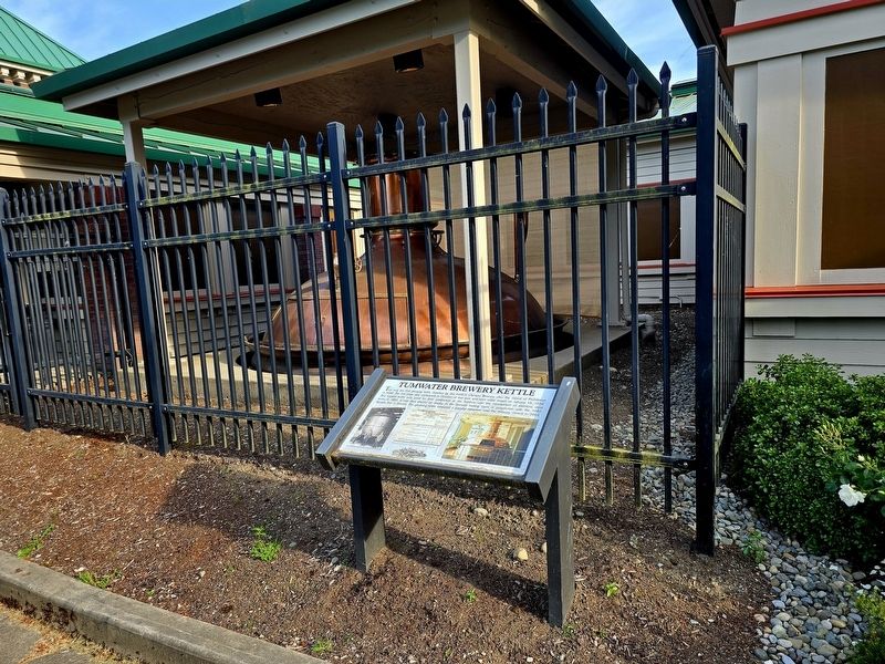
2. Tumwater Brewery Kettle Marker

Photographed by Shirley A Stirling, June 2, 2026
3. Tumwater Brewery Kettle Marker
Credits. This page was last revised on June 4, 2026. It was originally submitted on June 4, 2026, by Shirley A Stirling of Lacey, Washington. This page has been viewed 18 times since then. Photos: 1, 2, 3. submitted on June 4, 2026, by Shirley A Stirling of Lacey, Washington. • James Hulse was the editor who published this page.
