York in Lewis and Clark County, Montana — The American West (Mountains)
York Gold Discovery Point
History of Mining and Community
Photographed by Jake, February 27, 2026
1. York Gold Discovery Point History of Mining and Community Marker
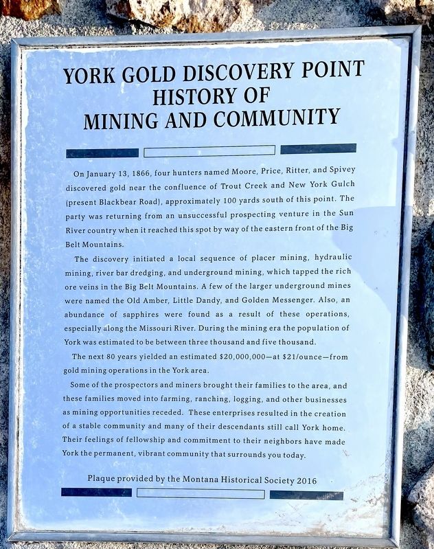
The discovery initiated a local sequence of placer mining, hydraulic mining, river bar dredging, and underground mining, which tapped the rich ore veins in the Big Belt Mountains. A few of the larger underground mines were named the Old Amber, Little Dandy, and Golden Messenger. Also, an abundance of sapphires were found as a result of these operations, especially along the Missouri River. During the mining era the population of York was estimated to be between three thousand and five thousand. The next 80 years yielded an estimated $20,000,000-at $21/ounce-from gold mining operations in the York area.
Some of the prospectors and miners brought their families to the area, and these families moved into farming, ranching, logging, and other
this page online
Plaque provided by the Montana Historical Society 2016
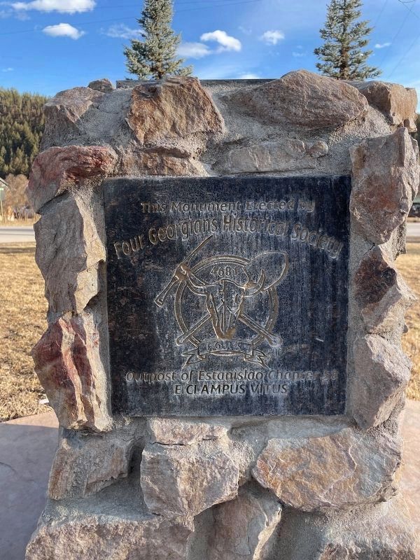
Erected 2016 by Four Georgians Historical Society Outpost of Estanislao Chapter 58 E Clampus Vitus.
Topics and series. This historical marker is listed in these topic lists: Industry & Commerce • Settlements & Settlers. In addition, it is included in the E Clampus Vitus series list. A significant historical date for this entry is January 13, 1866.
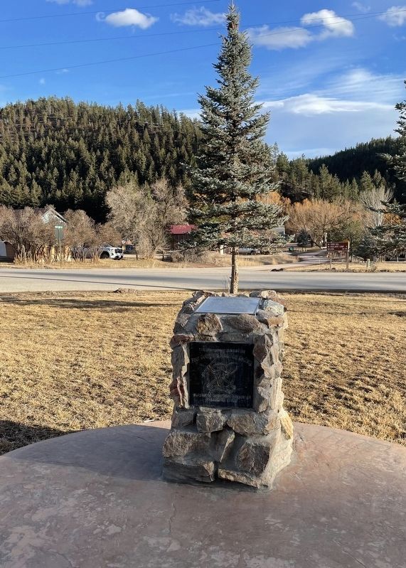
Location. 46° 43.314′ N, 111° 45.148′ W. Marker is in York, Montana, in Lewis and Clark County. It is at the intersection of York Road and Nelson Road, on the left when traveling east on York Road. The monument is located across the road from the York Bar, just before the cemetery on Nelson road. Touch for map. Marker is at or near this postal address: 7500 York Rd, Helena MT 59602, United States of America. Touch for directions.

Regionally,
Photographed by Jake, February 27, 2026
2. York Gold Discovery Point Marker
Other nearby markers. At least 5 other markers are within 17 miles of this marker, measured as the crow flies: The Manlove Homestead (approx. 12 miles away); Gates of the Mountains (approx. 12.1 miles away); East Helena Main Street Park (approx. 12.1 miles away); Gates of the Mountain (approx. 12½ miles away); The Prickly Pear Diggings (approx. 16.2 miles away).
More about this marker. This is a very nicely placed monument with parking close by.
Regarding York Gold Discovery Point. This monument was a collaboration between the Montana Historical Society and Four Georgians Chapter of E Clampus Vitus to share the history of York.
Additional keywords. Four Georgians Chapter 4681, Estanislao Chapter 58, E Clampus Vitus, York Montana, Montana Historical
Photographed by Jake, February 27, 2026
3. York Gold Discovery Point Marker
This Monument Erected by Four Georgians Historical Society Outpost of Estanislao Chapter 58 E Clampus Vitus
Credits. This page was last revised on July 25, 2026. It was originally submitted on June 4, 2026, by Jake of Missoula, Montana. This page has been viewed 23 times since then. Photos: 1, 2, 3. submitted on June 4, 2026, by Jake of Missoula, Montana. • Andrew Ruppenstein was the editor who published this page.
