Near Barboursville in Orange County, Virginia — The American South (Mid-Atlantic)
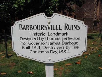
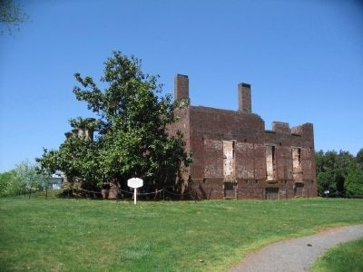
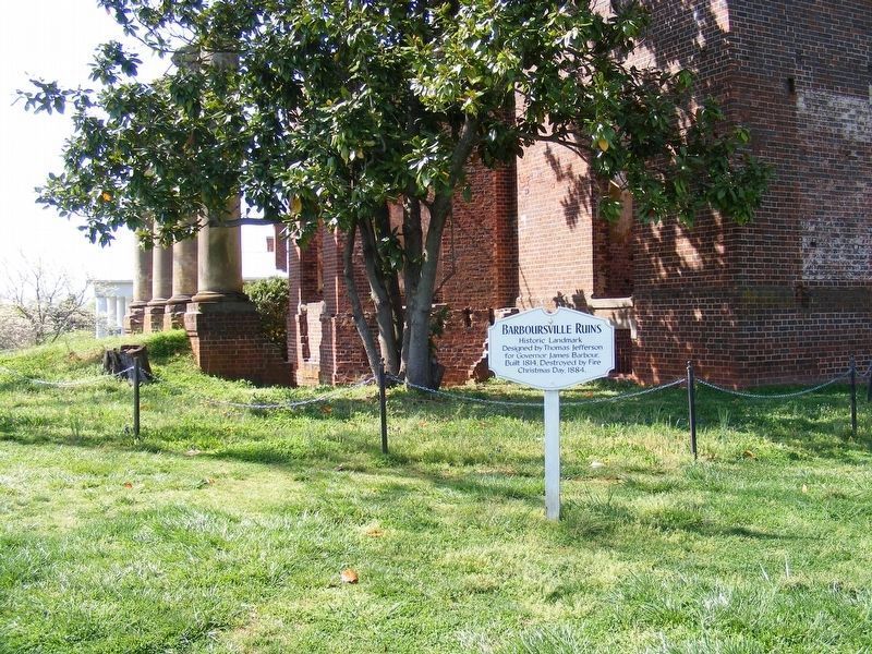
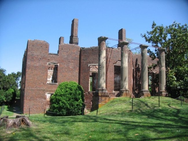
Barboursville Ruins
Historic Landmark
Topics and series. This historical marker is listed in this topic list: Notable Buildings. In addition, it is included in the Former U.S. Presidents: #03 Thomas Jefferson series list. A significant historical year for this entry is 1814.
Location. 38° 9.739′ N, 78° 16.833′ W. Marker is near Barboursville, Virginia, in Orange County. Marker is on Manison Road, 0.2 miles west of Vineyard Road (County Route 777), on the right when traveling west. Located on the grounds of Barboursville Vineyard. Touch for map. Marker is in this post office area: Barboursville VA 22923, United States of America. Touch for directions.
Other nearby markers. At least 8 other markers are within 5 miles of this marker, measured as the crow flies. Governor James Barbour (approx. 0.4 miles away); Barboursville (approx. 0.6 miles away); Montebello (approx. 1.8 miles away); Madison-Barbour Rural Historic District (approx. 3.4 miles away); General Thomas Sumter (approx. 4.3 miles away); Maury’s School (approx. 4.3 miles away); The Maplewood Memorial Association (approx. 4˝ miles away); Orange County / Louisa County (approx. 4.6 miles away). Touch for a list and map of all markers in Barboursville.
Also see . . .
1. Barboursville Estate History. From the Barboursville Vineyard web site. (Submitted on April 27, 2010, by Craig Swain of Leesburg, Virginia.)
2. Barboursville. National Park Service page from Journey Through Hallowed Ground. (Submitted on April 27, 2010, by Craig Swain of Leesburg, Virginia.)
3. Barboursville and Ruins. (PDF) National Historic Register nomination form. (Submitted on April 27, 2010, by Craig Swain of Leesburg, Virginia.)
Credits. This page was last revised on August 5, 2020. It was originally submitted on April 27, 2010, by Craig Swain of Leesburg, Virginia. This page has been viewed 1,400 times since then and 21 times this year. Photos: 1, 2. submitted on April 27, 2010, by Craig Swain of Leesburg, Virginia. 3. submitted on May 2, 2017, by Pete Payette of Orange, Virginia. 4. submitted on April 27, 2010, by Craig Swain of Leesburg, Virginia.


