Brant in Brant County, Ontario — Central Canada (North America)
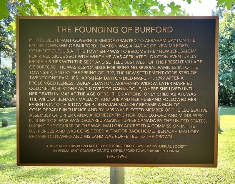
The Founding of Burford
Photographed by Tim Boyd, May 28, 2026
1. The Founding of Burford Marker
this page online
Erected 1993 by Burford Township Historical Society.
Topics. This historical marker is listed in these topic lists: Religion & Religious Structures • Settlements & Settlers • War of 1812. A significant historical year for this entry is 1793.
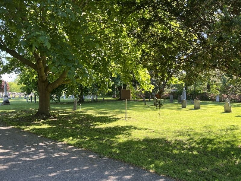
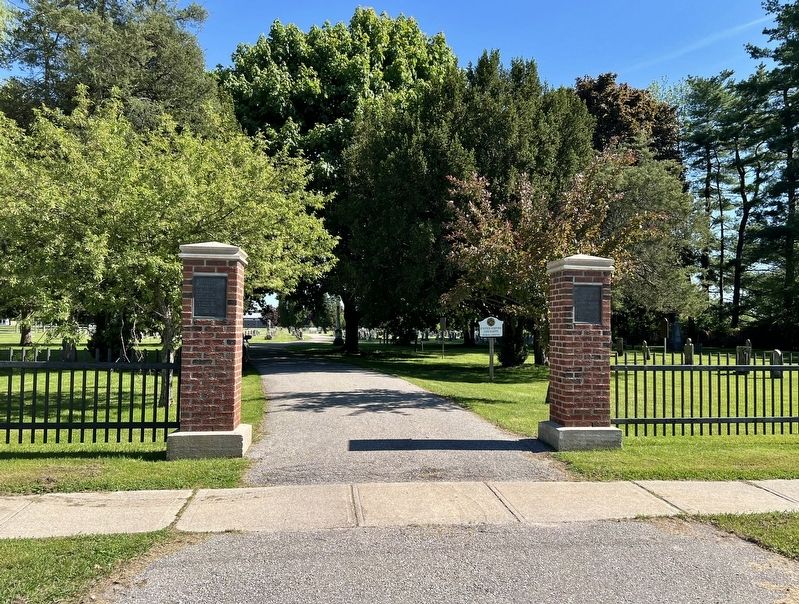
Location. 43° 6.109′ N, 80° 26.179′ W. Marker is in Brant, Ontario, in Brant County. It is on King Street 0.1 kilometers west of Potter Drive, on the left when traveling west. The marker is on the grounds of the Burford Cemetery, approx. 30 metres from the entrance on King Street. Touch for map. Marker is at or near this postal address: 171 King Street, Brant ON N0E 1A0, Canada. Touch for directions.

Regionally, this marker is in the Hamilton-Halton-Brant Area and in Southwestern Ontario. It is also in Central Canada. Globally, it is in North America, the Western Hemisphere, the Western World, and the Anglosphere. Historically, it finds itself in what was once a British colony, the Viceroyalty of New France, the Haudenosaunee
Photographed by Tim Boyd, May 28, 2026
2. The Founding of Burford Marker
Other nearby markers. At least 8 other markers are within 11 kilometers of this marker, measured as the crow flies: Perley School Bell (approx. 6.6 kilometers away); The Scotland Library Bell (approx. 9.9 kilometers away); Duncombe's Uprising 1837 (approx. 9.9 kilometers away); Dr. Augusta Stowe Gullen (approx. 10.3 kilometers away); Colonel Thomas Hornor 1767-1834 (approx. 10.7 kilometers away); The Asa Wolverton House (approx. 11 kilometers away); Alexander Graham Bell (approx. 11.1 kilometers away); Syl Apps (1915-1998) (approx. 11.3 kilometers away). Touch for a list and map of all markers in Brant.
Photographed by Tim Boyd, May 28, 2026
3. Entrance to the Burford Cemetery
marker is visible to the left on the white sign
Credits. This page was last revised on June 6, 2026. It was originally submitted on June 6, 2026, by Tim Boyd of Hamilton, Ontario. This page has been viewed 19 times since then. Photos: 1, 2, 3. submitted on June 6, 2026, by Tim Boyd of Hamilton, Ontario. • Andrew Ruppenstein was the editor who published this page.
