Upper Canada Village in Morrisburg in Stormont Dundas and Glengarry United Counties, Ontario — Central Canada (North America)
Christ Church
⎯⎯⎯
L'église du Christ
| — | Upper Canada Village | — |
Photographed by Robert Rusaw, June 5, 2026
1. Christ Church Marker

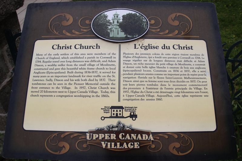
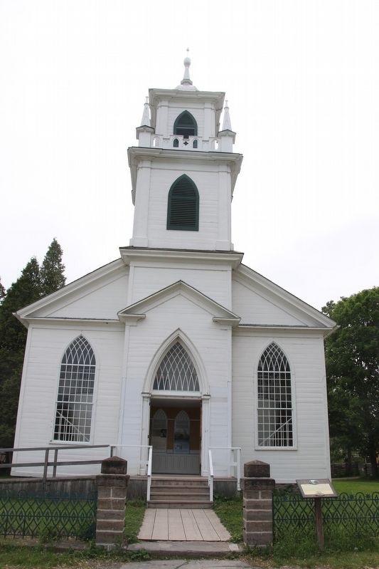
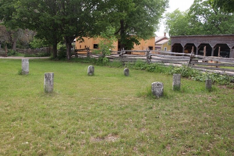
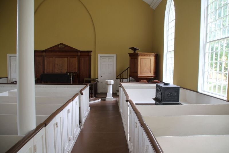
Many of the early settlers of this area were members of the Church of England, which established a parish in Cornwall in 1784. Regular travel over long distances was difficult, and Adam Dixson, a wealthy miller from the small village of Moulinette, constructed and gave this beautiful white frame church to local Anglicans (Episcopalians). Built during 1836-1837, it served for many years as an important landmark for river traffic on the St. Lawrence. Sadly, Dixson and his wife both died by 1837. Their tombstones can be seen in the Pioneer Memorial outside the front entrance to the Village. In 1957, Christ Church was moved 20 kilometers west to Upper Canada Village. Today, this church represents a congregation worshipping in the 1860s.
Plusieurs des premiers colons de cette région étaient membres de l'Eglise d'Angleterre, qui a fondé une paroisse à Cornwall en 1784. Le voyage régulier sur de longues distances était difficile et Adam Dixson, un riche meunier du petit village de Moulinette, a construit et donné cette belle église blanche à ossature de bois aux anglicans (épiscopaliens)
this page online
Erected by Upper Canada Village.
Topics. This historical marker is listed in these topic lists: Religion & Religious Structures • Settlements & Settlers. A significant historical year for this entry is 1836.
Location. 44° 56.769′ N, 75° 3.991′ W. Marker is in Morrisburg, Ontario, in Stormont Dundas and Glengarry United Counties. It is in Upper Canada Village. It can be reached from County Road 2, on the right when traveling east. This marker is located in Upper Canada Village. Touch for map. Marker is at or near this postal address: 13740 Stormont Dundas and Glengarry County Road 2, Morrisburg
Photographed by Robert Rusaw, June 5, 2026
2. Christ Church Marker

Regionally, this marker is in Eastern Ontario. It is also in Central Canada. Globally, it is in North America, the Western Hemisphere, the Western World, and the Anglosphere. Historically, it finds itself in what was once a British colony, the Viceroyalty of New France, the Haudenosaunee (Iroquois) Confederacy, and Rupert’s Land.
Other nearby markers. At least 8 other markers are within walking distance of this marker: Lutheran Pastor's House / Maison du pasteur luthérien (a few steps from this marker); Masonic Lodge / Loge maçonnique (within shouting distance of this marker); Cook's Tavern Barn / Grange de la taverne Cook (within shouting distance of this marker); Robertson House / La Maison des Robertson (within shouting distance of this marker); Cook's Tavern / Taverne Cook (within shouting distance of this marker); Shoemaker's House / La maison du fabricant de chaussures (within shouting distance of this marker); Tinsmith Shop / L'atelier du ferblantier (within shouting distance of this marker); Broom-maker's House / La Maison du fabricant de balais (within shouting distance
Photographed by Robert Rusaw, June 5, 2026
3. Christ Church Cemetery
Photographed by Robert Rusaw, June 5, 2026
4. Christ Church
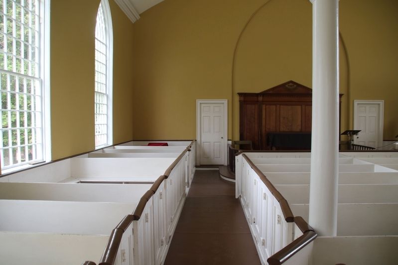
Photographed by Robert Rusaw, June 5, 2026
5. Christ Church
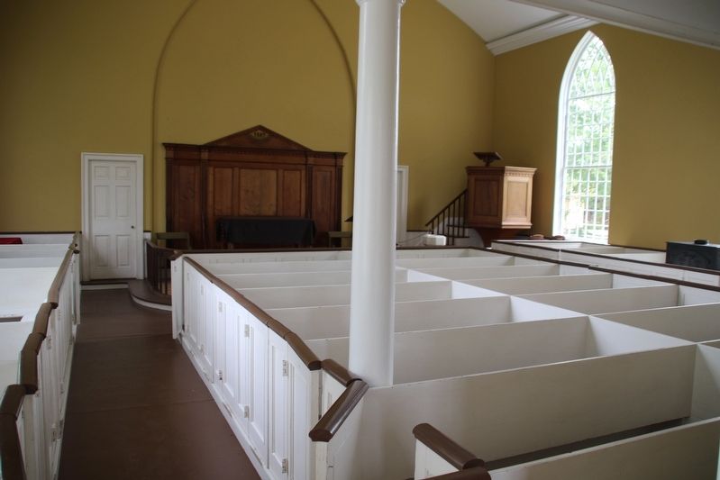
Photographed by Robert Rusaw, June 5, 2026
6. Christ Church Marker
Credits. This page was last revised on June 8, 2026. It was originally submitted on June 7, 2026, by Robert Rusaw of Massena, New York. This page has been viewed 18 times since then. Photos: 1, 2, 3, 4, 5, 6. submitted on June 7, 2026, by Robert Rusaw of Massena, New York. • Andrew Ruppenstein was the editor who published this page.
