Upper Canada Village in Morrisburg in Stormont Dundas and Glengarry United Counties, Ontario — Central Canada (North America)
Family Activity Centre
⎯⎯⎯
Centre d'activités familiales
| — | Upper Canada Village | — |
Photographed by Robert Rusaw, June 5, 2026
1. Family Activity Centre Marker

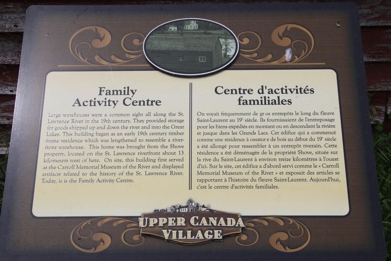
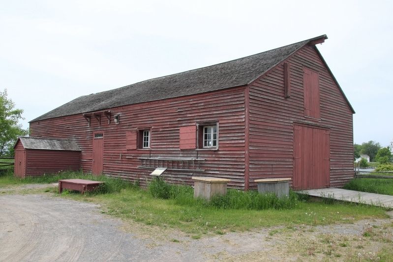
Large warehouses were a common sight all along the St. Lawrence River in the 19th century. They provided storage for goods shipped up and down the river and into the Great Lakes. This building began as an early 19th century timber frame residence which was lengthened to resemble a riverfront warehouse. This home was brought from the Shove property, located on the St. Lawrence riverfront about 13 kilometers west of here. On site, this building first served as the Carroll Memorial Museum of the River and displayed artifacts related to the history of the St. Lawrence River. Today, it is the Family Activity Centre.
On voyait fréquemment de gros entrepôts le long du fleuve Saint-Laurent au 19' siècle. Ils fournissaient de l'entreposage pour les biens expédiés en montant ou en descendant la rivière et jusque dans les Grands Lacs. Cet édifice qui a commencé comme une résidence à ossatur e de bois au début du 19 siècle a été allongé pour ressembler à un entrepôt riverain. Cette résidence a été déménagée de la propriété Shove, située sur la rive du Saint-Laurent
this page online
Erected by Upper Canada Village.
Topics. This historical marker is listed in these topic lists: Architecture • Industry & Commerce.
Location. 44° 56.75′ N, 75° 3.761′ W. Marker is in Morrisburg, Ontario, in Stormont Dundas and Glengarry United Counties. It is in Upper Canada Village. It can be reached from County Road 2, on the right when traveling east. This marker is located in Upper Canada Village. Touch for map. Marker is at or near this postal address: 13740 Stormont Dundas and Glengarry County Road 2, Morrisburg ON K0C 1X0, Canada. Touch for directions.

Regionally, this marker is in Eastern Ontario. It is also in Central Canada. Globally, it is in North America, the Western Hemisphere, the Western World, and the Anglosphere. Historically, it finds itself in what was once a British colony,
Photographed by Robert Rusaw, June 5, 2026
2. Family Activity Centre Marker
Other nearby markers. At least 8 other markers are within walking distance of this marker: Signal Tower / Tour à signaux (within shouting distance of this marker); Tenant Farm House / La maison de la métairie (ferme louée) (about 90 meters away, measured in a direct line); Loucks Farm House / Maison de la ferme des Loucks (about 150 meters away); Schoharie Barns / Les granges Schoharie (about 210 meters away); Hired Man's House / Maison de l'homme engagé (about 210 meters away); Dressmaker's Shop (about 210 meters away); Physician's House / La maison du médecin (about 240 meters away); Tinsmith Shop / L'atelier du ferblantier (approx. 0.3 kilometers away). Touch for a list and map of all markers in Morrisburg.
Credits. This page was last revised on June 8, 2026. It was originally submitted on June 7, 2026, by Robert Rusaw of Massena, New York. This page has been viewed 16 times since then. Photos: 1, 2. submitted on June 7, 2026, by Robert Rusaw of Massena, New York. • Andrew Ruppenstein was the editor who published this page.
