Shandon in Columbia in Richland County, South Carolina — The American South (South Atlantic)
Early Columbia Racetrack
Inscription.
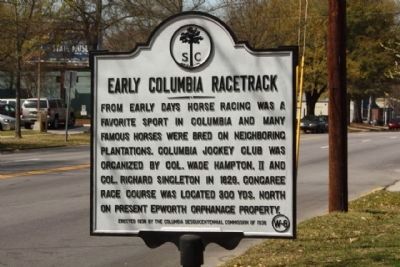
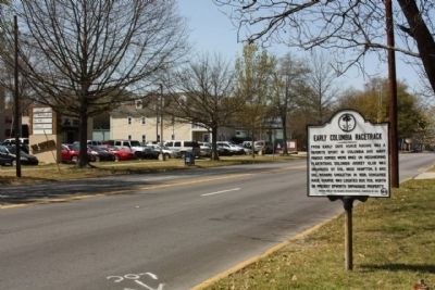
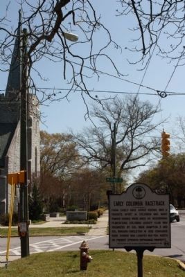
From early days horse racing was a favorite sport in Columbia and many famous horses were bred on neighboring plantations. Columbia Jockey Club was organized by Col. Wade Hampton II and Col. Richard Singleton in 1828. Congaree Race Course was located 300 yards north on present Epworth Orphanage property.
Erected 1938 by The Columbia Sesquicentennial Commission of 1936. (Marker Number 40-48.)
Topics. This historical marker is listed in these topic lists: Notable Places • Sports. A significant historical year for this entry is 1828.
Location. 33° 59.874′ N, 80° 59.946′ W. Marker is in Columbia, South Carolina, in Richland County. It is in Shandon. Marker is on Devine Street near Sims Avenue, on the right when traveling west. Touch for map. Marker is in this post office area: Columbia SC 29205, United States of America. Touch for directions.
Other nearby markers. At least 8 other markers are within 2 miles of this marker, measured as the crow flies. Shandon (approx. ¼ mile away); Paul R. Redfern (approx. 0.3 miles away); Redfern Field / Paul R. Redfern (approx. 0.3 miles away); Shandon Presbyterian Church (approx. 0.4 miles away); Tree of Life Synagogue (approx. 0.6 miles away); The Boys of Richland County (approx. 1.1 miles away); Waverly Five and Dime / George Elmore and Elmore v. Rice (approx. 1.1 miles away); Diamond Hill (approx. 1.1 miles away). Touch for a list and map of all markers in Columbia.
Credits. This page was last revised on February 16, 2023. It was originally submitted on April 29, 2010, by Mike Stroud of Bluffton, South Carolina. This page has been viewed 1,029 times since then and 39 times this year. Photos: 1, 2, 3. submitted on April 29, 2010, by Mike Stroud of Bluffton, South Carolina.


