Roche Harbor in San Juan County, Washington — The American West (Northwest)
English Camp
Photographed by Jimmy Emerson, June 9, 2017
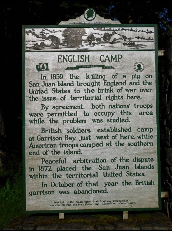
1. English Camp Marker
In 1859 the killing of a pig on San Juan Island brought England and the United States to the brink of war over the issue of territorial rights here. By agreement, both nations' troops were permitted to occupy this while the problem was studied. British soldiers established camp at Garrison Bay, just west of here, while American troops camped at the southern end of the island. Peaceful arbitration of the dispute in 1872 placed the San Juan Islands within the territorial United States. In October of that year the British garrison was abandoned.
Erected by Washington State Highway Commission in Cooperation with the State Parks and Recreation Commission.
Topics. This historical marker is listed in these topic lists: Animals • Peace. A significant historical year for this entry is 1859.
Location. 48° 35.193′ N, 123° 8.823′ W. Marker is in Roche Harbor, Washington, in San Juan County. It is on West Valley Road north of Yacht Haven Road. Marker is within San Juan Island National Historical Park. Touch for map. Marker is at or near this postal address: 4585 A W Valley Rd, Friday Harbor WA 98250, United
this page online

Regionally, this marker is in the Puget Sound Region. It is also on the American Pacific Coast, in the Pacific Northwest, and in the Lewis & Clark Corridor. Globally, it is in North America, in the Inside Passage, on the Pacific Rim, in the Western Hemisphere, in the Western World, and in the Anglosphere.
Other nearby markers. At least 8 other markers are within 23 kilometers of this marker, measured as the crow flies: San Juan County Jail (approx. 6.7 miles away); Milk House (approx. 6.7 miles away); Stone Store House (approx. 6.7 miles away); James F. King Farmhouse (approx. 6.7 miles away); Roll of Honor World War (approx. 7 miles away); The First Flight (approx. 12.8 miles away in Canada); Spewhung (approx. 21.5 kilometers away in Canada); "Summerdyne" (approx. 21.7 kilometers away in Canada).
Credits. This page was last revised on June 10, 2026. It was originally submitted on June 8, 2026, by Jimmy Emerson of Dalton, Georgia. This page has been viewed 10 times since then. Photo 1. submitted on June 8, 2026, by Jimmy Emerson of Dalton, Georgia. • James Hulse was the editor who published this page.
Editor’s want-list for this marker. A wide view photo of the marker and the surrounding area together in context. • Can you help?
