
Springville in Tulare County, California — The American West (Pacific Coastal)
Elster Building
| — | 1912 - 1982 | — |
Photographed by Craig Baker, June 7, 2026
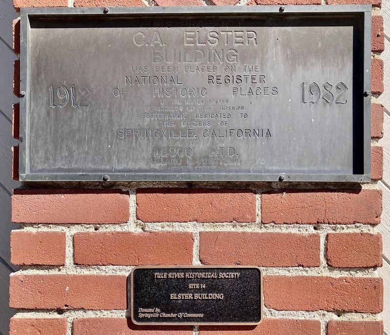
1. Elster Building Marker
This property, C.A. Elster Building, has been placed on the National Register of Historic Places by the United States Department of the Interior.
Restoration dedicated to the citizens of Springville, California, by Lesco L.T.D., Leland E. Sweetser, General Partner.
Tule River Historical Society, Site 14, Elster Building.
Donated by Springville Chamber Of Commerce
Topics. This historical marker is listed in these topic lists: Architecture • Settlements & Settlers. A significant historical year for this entry is 1912.
Location. 36° 7.832′ N, 118° 49.076′ W. Marker is in Springville, California, in Tulare County. It is at the intersection of California 190 and Tule River Drive, on the right when traveling east on California 190. Touch for map. Marker is at or near this postal address: 35621 CA-190, Springville CA 93265, United States of America. Touch for directions.

Regionally, this marker is in California’s San Joaquin Valley, specifically in the Central Valley, and in the Sierra Nevada. It is also on the American Pacific Coast. Globally, it is in North America, on the Ring
this page online
Other nearby markers. At least 8 other markers are within 10 miles of this marker, measured as the crow flies: Daunt (approx. 0.7 miles away); The Citrus School Bell (approx. 0.7 miles away); Treaty of 1851 (approx. 4½ miles away); Citrus South Tule School (approx. 5 miles away); Success Dam and Lake (approx. 6.9 miles away); Tule River Indian Reservation (approx. 7.6 miles away); Welcome to the Tule River Indian-Reservation (approx. 7.6 miles away); Battle Mountain (approx. 9.7 miles away). Touch for a list and map of all markers in Springville.
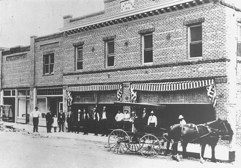
Regarding Elster Building. The brick building was built in 1912 by Charles Alonzo Elster, a significant businessman in the area. When it opened, the building contained several of Springville's main businesses, including its post office, a bank, a drugstore, the Odd Fellows hall, and the town's first telephone. The second floor of the building was used for residences, and the basement contained
Photographed by Craig Baker, June 7, 2026
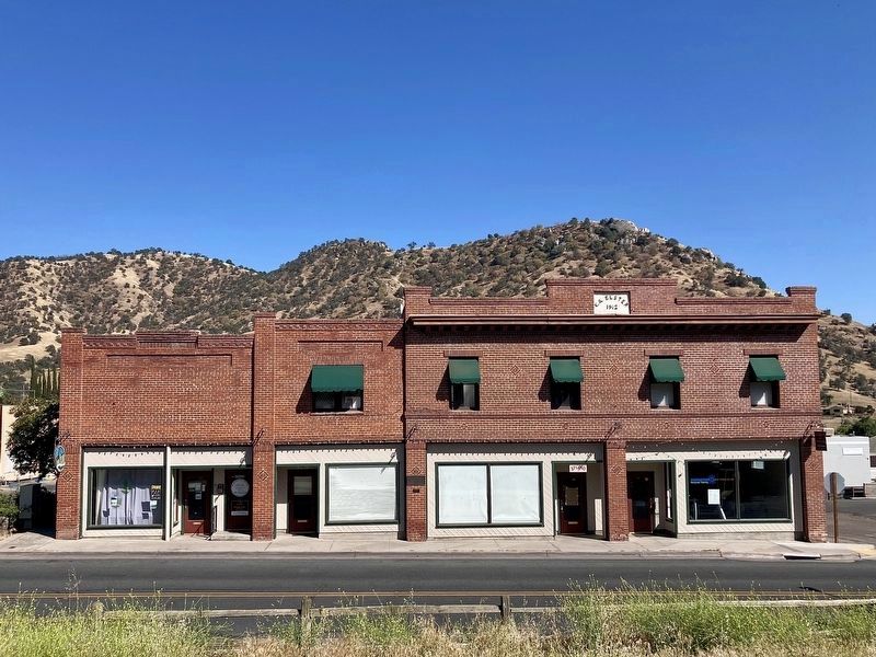
2. Elster Building and Marker
The marker is on the center column.
The building was added to the National Register of Historic Places on March 25, 1982.
Photographed by Craig Baker, June 7, 2026
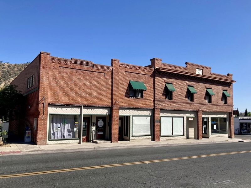
3. Elster Building
from NRHP Nomination/NPS.Gov
4. Elster Building - 1912
Credits. This page was last revised on June 9, 2026. It was originally submitted on June 9, 2026, by Craig Baker of Sylmar, California. This page has been viewed 27 times since then. Photos: 1, 2, 3, 4. submitted on June 9, 2026, by Craig Baker of Sylmar, California.
