Worcester Township in Fairview Village in Montgomery County, Pennsylvania — The American Northeast (Mid-Atlantic)
Fairview Village
Photographed by Vince Pupillo Jr, June 8, 2026
1. Fairview Village Marker
Inscription.
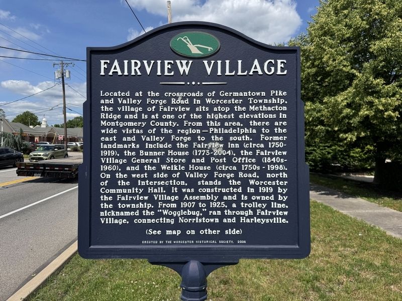
Located at the crossroads of Germantown Pike and Valley Forge Road in Worcester Township, the village of Fairview sits atop the Methacton Ridge and is at one of the highest elevations in Montgomery County. From this area, there are wide vistas of the region-Philadelphia to the east and Valley Forge to the south. Former landmarks include the Fairview Inn (circa 1750-1919), the Bunner House (1773-2004), the Fairview Village General Store and Post Office (1840s-1960), and the Weikle House (circa 1750s-1998). On the west side of Valley Forge Road, north of the intersection, stands the Worcester Community Hall. It was constructed in 1919 by the Fairview Village Assembly and is owned by the township. From 1907 to 1925, a trolley line, nicknamed the "Wogglebug," ran through Fairview Village, connecting Norristown and Harleysville.
(See map on other side)
Erected 2006 by Worcester Historical Society.
Topics. This historical marker is listed in these topic lists: Landmarks • Notable Buildings • Notable Places. A significant historical year for this entry is 1919.
Location. 40° 9.716′ N, 75° 22.778′ W. Marker is in
Click or scan to see this page online
Fairview Village, Pennsylvania, in Montgomery County. It is in Worcester Township. It is at the intersection of Valley Forge Road/Park Avenue (Pennsylvania Route 363) and Germantown Pike, on the right when traveling north on Valley Forge Road/Park Avenue. The marker is located in a grassy area between the curb and the sidewalk. It should also be noted that this marker is located close to the township line between Worcester Township and Lower Providence Township. PA 363 is known as Valley Forge Road in Worcester Township and Park Avenue in Lower Providence Township (the road changes names upon crossing Germantown Pike). Touch for map. Marker is at or near this postal address: 2979 W Germantown Pike Norristown PA 19401, Fairview Village PA 19409, United States of America. Touch for directions.
Regionally, this marker is in Southeast Pennsylvania and in Greater Philadelphia. It is also in the American Northeast and in the Mid-Atlantic. Globally, it is in North America, the Western Hemisphere, the Western World, and the Anglosphere. Historically, it finds itself in what was once the Haudenosaunee (Iroquois) Confederacy and
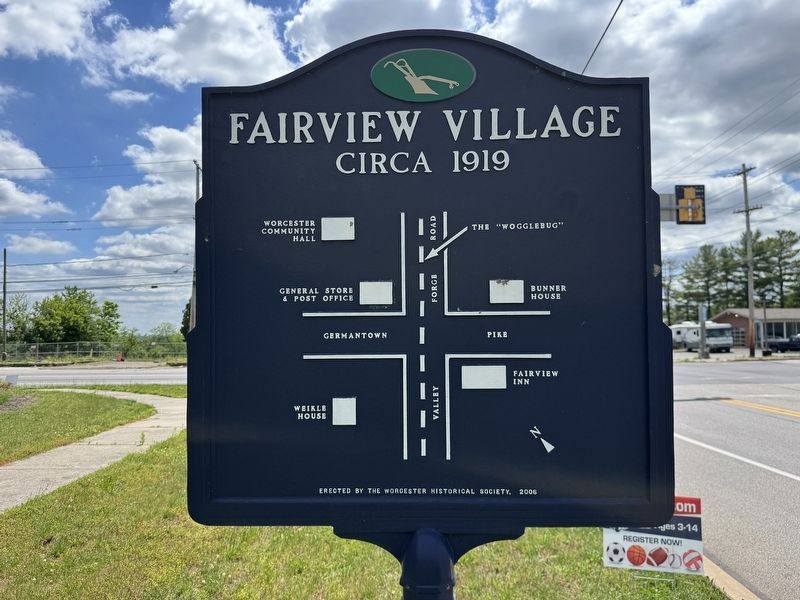
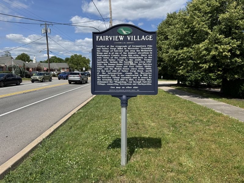
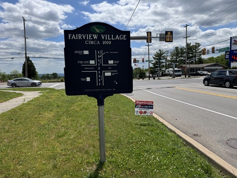
More about this marker. The marker is located near the sidewalk outside of the Dollar General store (oddly, the store has a Norristown address despite being located in Fairview Village) at the corner of Valley Forge Road and Germantown Pike and is located just south of the historic Worcester Community Hall (constructed in 1919). The marker is double-sided. The front of the marker displays the main text telling the history of the village, various former landmarks and areas that can be viewed from the village from a distance (including the city of Philadelphia and Valley Forge). The village
Photographed by Vince Pupillo Jr, June 8, 2026
3. Fairview Village Marker
is located at the top of the Methacton Ridge this geographic location provides far reaching vistas of the surrounding area. On very clear days and nights, the Philadelphia skyline is highly visible (hence the name "Fairview"). This side of the marker can be seen when driving north on Valley Forge Road towards Center Point in Worcester Township. The back of the marker displays a road map of the intersection of Valley Forge Road and Germantown Pike and shows the location of several former landmarks as well as the former trolley line which ran through the village, circa 1919 (the year that the Worcester Community Hall was constructed). This side of the marker can be seen when driving south on Valley Forge Road (which becomes Park Avenue) towards the Germantown Pike intersection and Lower Providence Township.
Photographed by Vince Pupillo Jr, June 8, 2026
4. Fairview Village Marker
Credits. This page was last revised on July 17, 2026. It was originally submitted on June 9, 2026, by Vince Pupillo Jr of Hatfield, Pennsylvania. This page has been viewed 37 times since then. Photos:1, 2, 3, 4. submitted on June 9, 2026, by Vince Pupillo Jr of Hatfield, Pennsylvania. • Bill Pfingsten was the editor who published this page.