Upper Canada Village in Morrisburg in Stormont Dundas and Glengarry United Counties, Ontario — Central Canada (North America)
McDiarmid House
⎯⎯⎯
Maison de McDiarmid
Photographed by Robert Rusaw, June 2, 2026
1. McDiarmid House Marker

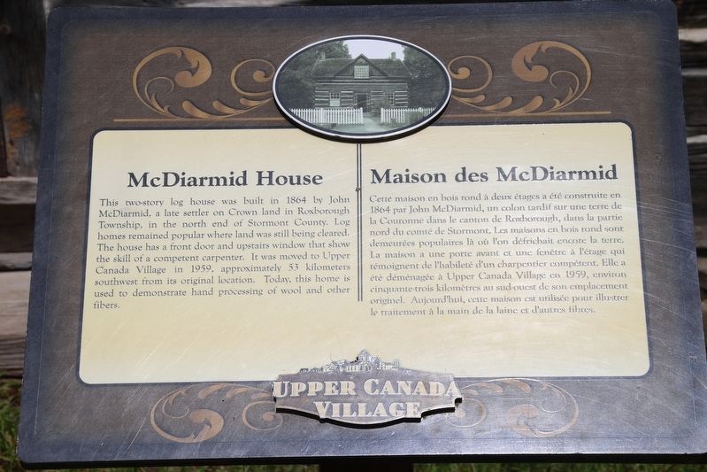
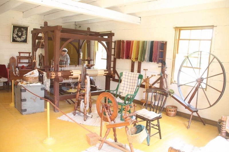
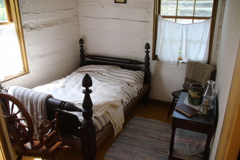
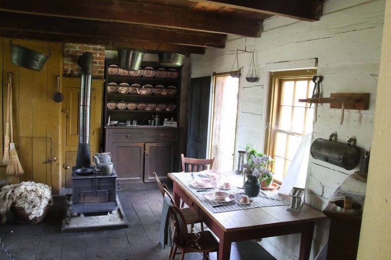
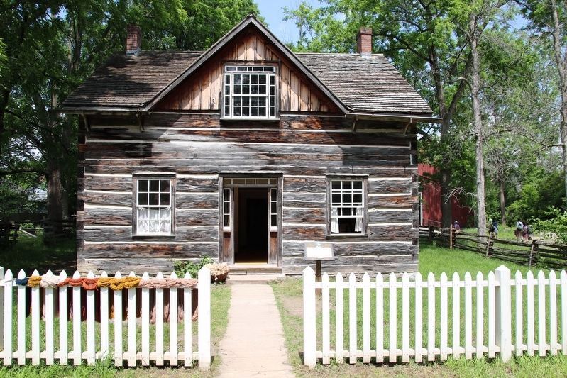
This two-story log house was built in 1864 by John McDiarmid, a late settler on Crown land in Roxborough Township, in the north end of Stormont County. Log homes remained popular where land was still being cleared. The house has a front door and upstairs window that show the skill of a competent carpenter. It was moved to Upper Canada Village in 1959, approximately 53 kilometers southwest from its original location. Today, this home is used to demonstrate hand processing of wool and other fibers.
Cette maison en bois rond à deux étages a été construite en 1864 par John McDiarmid, un colon tardif sur une terre de la Couronne dans le canton de Renborough, dans la partic nord du comté de Stormont. Les maisons en bois rond sont demeurées populaires là où l'on défrichait encore la terre. La maison a une porte avant et une fenêtre à l'étage qui témoignent de l'habileté d'un charpentier compétent. Elle a été déménagée à Upper Canada Village en 1959, environ cinquante-trois kilomètres au sud-ouest de son emplacement originel. Aujourd'hui, cette maison est utilisée
this page online
Erected by Upper Canada Village.
Topics. This historical marker is listed in this topic list: Settlements & Settlers. A significant historical year for this entry is 1864.
Location. 44° 56.883′ N, 75° 3.942′ W. Marker is in Morrisburg, Ontario, in Stormont Dundas and Glengarry United Counties. It is in Upper Canada Village. It can be reached from County Road 2, on the right when traveling east. This marker is located in Upper Canada Village. Touch for map. Marker is at or near this postal address: 13794 County Road 2, Morrisburg ON K0C 1X0, Canada. Touch for directions.

Regionally, this marker is in Eastern Ontario. It is also in Central Canada. Globally, it is in North America, the Western Hemisphere, the Western World, and the Anglosphere. Historically, it finds itself in what was once a British colony, the Viceroyalty of New France, the Haudenosaunee (Iroquois) Confederacy, and Rupert’s Land.
Other nearby markers. At least 8 other markers are within walking distance of this marker: Ross Farm House / La maison de la ferme des Ross (a few steps
Photographed by Robert Rusaw, June 2, 2026
2. McDiarmid House
Photographed by Robert Rusaw, June 2, 2026
3. McDiarmid House

Photographed by Robert Rusaw, June 2, 2026
4. McDiarmid House
Photographed by Robert Rusaw, June 2, 2026
5. McDiarmid House
Photographed by Robert Rusaw, June 12, 2026
6. McDiarmid House / Maison de McDiarmid Marker
Credits. This page was last revised on July 9, 2026. It was originally submitted on June 10, 2026, by Robert Rusaw of Massena, New York. This page has been viewed 13 times since then. Photos: 1, 2, 3, 4, 5. submitted on June 10, 2026, by Robert Rusaw of Massena, New York. 6. submitted on June 12, 2026, by Robert Rusaw of Massena, New York. • Andrew Ruppenstein was the editor who published this page.
