Hayes in Gloucester County, Virginia — The American South (Mid-Atlantic)
The Siege of Gloucester Point, 1781

Photographed by Brandon D Cross
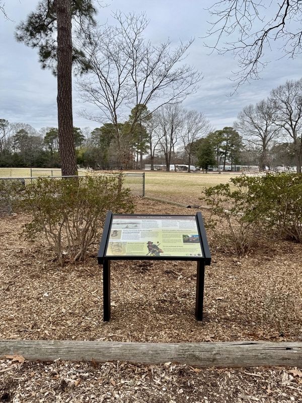
1. The Siege of Gloucester Point, 1781 Marker
The War of Independence comes to Gloucester County
A large British force commanded by Lord Cornwallis marched from North Carolina and reached Virginia in May of 1781. After a summer of skirmishes with American forces under the Marquis de Lafayette, Cornwallis took up positions near Yorktown. British forces also constructed fortifications across the York River at Gloucester Point. Cornwallis was not entirely pleased with the location, but he felt secure knowing that the Royal Navy would evacuate his troops in an emergency.
General Weedon sets up the Siege
In Gloucester, Weedon was to protect local citizens from the British Army which roamed the countryside. He informed Washington that "The first object that struck my attention on joining this Army was to . circumscribe if possible the Enemies' Foraging Parties." To achieve this goal, he had to create a mobile force and "for this purpose formed a Partisan Legion of 60 Horse and 400 Infantry."
Since Weedon also needed a reserve force, he ordered Lieutenant Colonel John Francis Mercer, a veteran of the 3rd Virginia Regiment, to select "from the militia such old soldiers
this page online
Brigadier General George Weedon takes Command
I am honor'd with your Letter...the greatest attention shall be paid to the small supply of cartridges arrived in Camp last Night: previous to which the Troops in this Quarter had not two per man... the Men are badly armed and worse equipt...I have no Artillery of any sort.
- Brigadier General George Weedon, September 18, 1781, Gloucester Courthouse
Weedon's forces lacked resources and numbered only around 1,200 militiamen; however, he wrote exuberantly to his friend General Nathanael Greene on September 5: "I am all on fire — by the Great God of War. I think we may all hang up our Swords by the last of the year in perfect peace and Security." Nothing could dampen his hopes that the arrival of the Franco-American armies would
Photographed by Brandon D Cross
2. The Siege of Gloucester Point, 1781 Marker
Rochambeau strengthens Allied Lines in Gloucester
The forces of Mercer and Weedon were not strong enough to stop British foraging. With no Continental Army units available, General Washington asked Rochambeau to send Lauzun's Legion to Gloucester. The arrival of 300 hussars on September 24 and 300 infantrymen on September 27 greatly improved Weedon's strength.
An additional 80 French troops under General Gabriel de Choisy arrived on October 1. These reinforcements tipped the scales in favor of the Franco-American allies. During the Battle of the Hook on October 3, they pushed Lieutenant Colonel Danastro Tarleton's forces back to Gloucester Point, where they stayed for the remainder of the siege.
At 3:00 p.m. on October 19, 1781, one hour after the British surrender at Yorktown, the British troops at Gloucester Point laid down their weapons. The Prisoners of War marched to Pennsylvania and Maryland, their wounded remaining behind in a makeshift hospital in Abington Church.
Blocking in Lord Cornwallis
By mid-September Cornwallis realized that the allied siege would consist of three components a French fleet in the Chesapeake Bay to prevent his evacuation by the Royal Navy, a Franco-American army near Yorktown, and Virginia militia potentially reinforced by regular infantry: Yet Cornwallis knew that he had to control Gloucester; it provided food for his troops and was the only escape route on land he had left if he could not hold Yorktown.
The Cost and Rewards of Victory
It took years for Gloucester to recover from the devastation wreaked by just three months of warfare. Thousands of soldiers, friend as well as foe, had burned fences, pillaged homes, harvested crops, and indiscriminately slaughtered animals. With the ownership of enslaved Africans widespread in Gloucester, landowners claimed the loss ol 159 slaves as a result of British raids. Citing the damages suffered during the late War with Great Britain, 100 families from the county petitioned the governor for relief from taxation.
(captions)
Gloucester Point, c. 1750, Courtesy of the Mariners Museum and Park
This image of Brigadier General George Weedon was drawn by Robert Field (1769-1819). Emmet Collection of Manuscripts, New York Public Library, New York
This 1781 map of southern Gloucester County shows British fortifications at Gloucester Point. The main road depicted running north/south follows a similar path to current day U.S.-17. Detail of “Environs du Gloucester,” by Joachim comte de Revel du Perron. 1781. Princeton University Library
Virginia Militia as they appeared in 1781. Courtesy of Don Troiani/Bridgeman Images
Abingdon Episcopal Church was constructed in 1755, and served as a hospital for sick and wounded soldiers. Photo courtesy of the Gloucester Museum of History
Erected 2023 by Gloucester County.
Topics. This historical marker is listed in this topic list: War, US Revolutionary. A significant historical month for this entry is May 1781.
Location. 37° 17.489′ N, 76° 30.892′ W. Marker is in Hayes, Virginia, in Gloucester County. It is on Powhatan Drive west of Pigeon Hill Road, on the right when traveling west. The marker is located within Abington Park. Touch for map. Marker is at or near this postal address: 7023 Powhatan Drive, Hayes VA 23072, United States of America. Touch for directions.

Regionally, this marker is on the Middle Peninsula and in the Hampton Roads Metropolitan Area. It is also in the American South, specifically in the Upper South, in the Tidewater, in the Chesapeake Bay Region, and on the Eastern Seaboard. Globally, it is in the North Atlantic Region, North America, the Western Hemisphere, the Western World, and the Anglosphere. Historically, it finds itself in what was once the territory of the Mississippian Culture, one of the original Thirteen Colonies, one of the Confederate States of America, and the Antebellum South.
Other nearby markers. At least 8 other markers are within 2 miles of this marker, measured as the crow flies: French Soldiers Killed at the Battle of the Hook (here, next to this marker); Duc de Lauzun and the Battle of the Hook (here, next to this marker); Powhatan’s Chimney (approx. 0.9 miles away); The Irene Morgan Story Begins (approx. 1.2 miles away); Timberneck House Renovation at Machicomoco State Park (approx. 1.2 miles away); Early Timberneck Graveyard (approx. 1.2 miles away); Battle of the Hook (approx. 1.3 miles away); "The Hook" (approx. 1.3 miles away). Touch for a list and map of all markers in Hayes.
Also see . . .
1. Gloucester Point in the Siege of Yorktown 1781. (Submitted on February 5, 2025, by Brandon D Cross of Flagler Beach, Florida.)
2. Newly unveiled markers tell story of the Battle of the Hook in Gloucester County. (Submitted on February 5, 2025, by Brandon D Cross of Flagler Beach, Florida.)
Credits. This page was last revised on June 11, 2026. It was originally submitted on February 5, 2025, by Brandon D Cross of Flagler Beach, Florida. This page has been viewed 295 times since then and 137 times this year. Last updated on June 11, 2026, by Carl Gordon Moore Jr. of North East, Maryland. Photos: 1, 2. submitted on February 5, 2025, by Brandon D Cross of Flagler Beach, Florida. • Bernard Fisher was the editor who published this page.
