Campbellville in Milton in Halton Region, Ontario — Central Canada (North America)
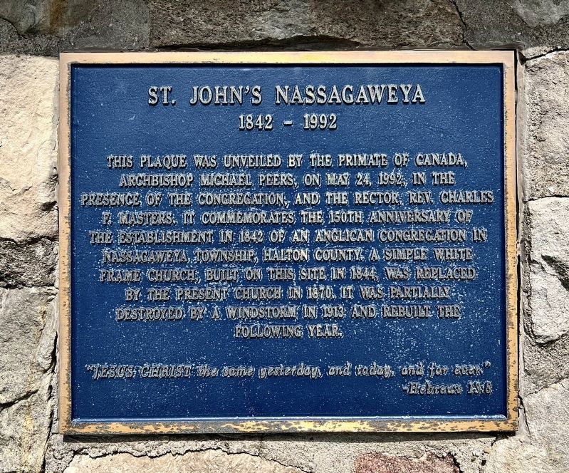
St. John’s Nassagaweya
1842-1992
Photographed by Tim Boyd, June 4, 2026
1. St. John’s Nassagaweya Marker
"Jesus Christ - the same yesterday, and today, and for ever”.
Hebrews 13:8
Erected 1992.
Topics. This historical marker is listed in this topic list: Religion & Religious Structures. A significant historical year for this entry is 1842.
Location. 43° 30.356′ N, 80° 0.53′ W. Marker is in Milton, Ontario, in Halton Region. It is in Campbellville. It is on Guelph Line near No. 10 Sideroad, on the right when traveling north. Touch for map. Marker is at or near this postal address: 10025 Guelph Line, Milton ON L0P 1B0, Canada. Touch for directions.

Regionally, this marker is in Greater Toronto, specifically on the Golden Horseshoe,
this page online
Other nearby markers. At least 8 other markers are within 11 kilometers of this marker, measured as the crow flies: Milton Outlier (approx. 5.6 kilometers away); The Boston Cemetery Association (approx. 9.2 kilometers away); Boston Presbyterian Church (approx. 9.2 kilometers away); The Associate Presbyterian Church (approx. 9.3 kilometers away); The P.L. Robertson Manufacturing Company (approx. 9.4 kilometers away); The Fred W. Armstrong Arena (approx. 10.1 kilometers away); Milton’s World War I Field Gun (approx. 10.1 kilometers away); Milton’s Commemorative Cenotaph (approx. 10.1 kilometers away). Touch for a list and map of all markers in Milton.
Photographed by Tim Boyd, June 4, 2026
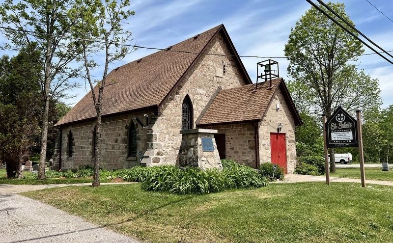
2. St. John’s Nassagaweya and Marker
Photographed by Tim Boyd, June 4, 2026
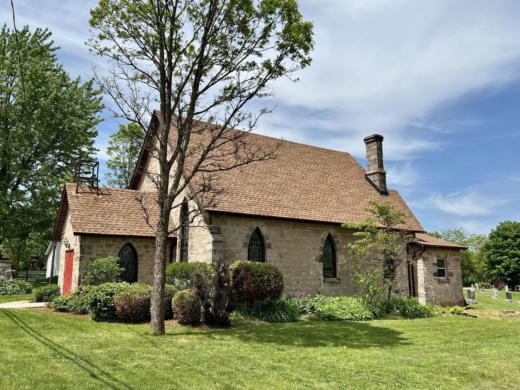
3. St. John’s Nassagaweya in 2026
Credits. This page was last revised on June 11, 2026. It was originally submitted on June 11, 2026, by Tim Boyd of Hamilton, Ontario. This page has been viewed 9 times since then. Photos: 1, 2, 3. submitted on June 11, 2026, by Tim Boyd of Hamilton, Ontario. • Andrew Ruppenstein was the editor who published this page.
