
Fort Mitchell in Russell County, Alabama — The American South (East South Central)
Mt. Olive School
1916
⎯⎯⎯
1950
Photographed by Jimmy Emerson, June 10, 2026
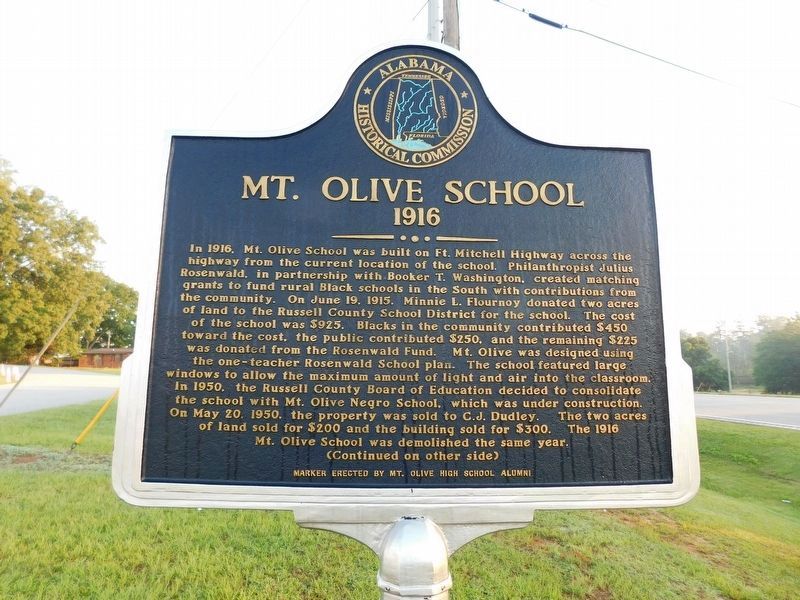
1. Mt. Olive School Marker (1916 side)
1916. In 1916, Mt. Olive School was built on Ft. Mitchell Highway across the highway from the current location of the school. Philanthropist Julius Rosenwald, in partnership with Booker T. Washington, created matching grants to fund rural Black schools in the South with contributions from the community. On June 19, 1915. Minnie L. Flournoy donated two acres of land to the Russell County School District for the school. The cost of the school was $925. Blacks in the community contributed $450 toward the cost, the public contributed $250. and the remaining $225 was donated from the Rosenwald Fund. Mt. Olive was designed using the one-teacher Rosenwald School plan. The school featured large windows to allow the maximum amount of light and air into the classroom. In 1950, the Russell County Board of Education decided to consolidate the school with Mt. Olive Negro School, which was under construction. On May 20. 1950. the property was sold to C.J. Dudley. The two acres of land sold for $200 and the building sold for $300. The 1916 Mt. Olive School was demolished the same year.
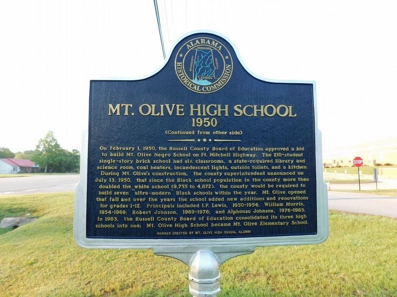
1950. On February 1, 1950, the Russell County
this page online
Erected 2022 by Mt Olive School High School Alumni & AHC.
Topics and series. This historical marker is listed in these topic lists: African Americans • Education. In addition, it is included in the
Photographed by Jimmy Emerson, June 10, 2026
2. Mt. Olive School Marker (1950 side)
Location. 32° 21.577′ N, 85° 1.891′ W. Marker is in Fort Mitchell, Alabama, in Russell County. It is on Alabama Route 165 south of Mt. Olive Drive, on the right when traveling south. Touch for map. Marker is at or near this postal address: 454 Highway 165, Fort Mitchell AL 36856, United States of America. Touch for directions.

Regionally, this marker is in Greater Columbus. It is also in the American South, specifically in the Deep South, and in the Black Belt. Globally, it is in North America, a Gulf of Mexico state, the Western Hemisphere, the Western World, and the Anglosphere. Historically, it finds itself in what was once the territory of the Mississippian Culture, one of the Confederate States of America, and the Antebellum South.
Other nearby markers. At least 8 other markers are within 2 miles of this marker, measured as the crow flies: Veteran Memorials at Fort Mitchell (approx. 0.8 miles away); Address by President Lincoln (approx. one mile away); Mount Olive Baptist Church (approx. one mile

Photographed by Jimmy Emerson, June 10, 2026
3. Mt Olive School & Marker
More about this marker. Marker was installed Saturday July 20, 2022
Credits. This page was last revised on June 12, 2026. It was originally submitted on June 11, 2026, by Jimmy Emerson of Dalton, Georgia. This page has been viewed 17 times since then. Photos: 1, 2, 3. submitted on June 11, 2026, by Jimmy Emerson of Dalton, Georgia. • Devry Becker Jones was the editor who published this page.
