Oudeschild in Texel, North Holland, Netherlands — Northwestern Europe
Bakker Steegie
⎯⎯⎯
Bakker Alley
Photographed by Andrew Ruppenstein, June 1, 2026
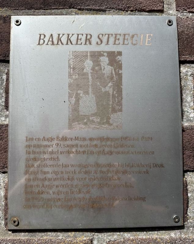
1. Bakker Steegie / Bakker Alley Marker

Ook stoffeerde Jan woningen en werkte hij bij Berij Dros. Naast hun eigen werk deden ze veel vrijwilligers work en stonden werkelijk voor iedereen klaar.
Jan en Aagje werden gezien als gastvrij, eerlijk, betrokken, wijs en liefdevol.
In 1959 ontving Jan een Koninklijke onderscheiding en werd hij ereburger van Oudeschild.
Jan and Aagje Bakker-Maas lived at number 99 from 1928 to 1989, together with their seven children. In their shop, Jan and Aagje sold dry goods and home textiles.
Jan also did home upholstery work and was employed by Berij Dros. In addition to their own work, they did a great deal of volunteer work and were always ready to help anyone.
Jan and Aagje were regarded as hospitable, honest, caring, wise, and loving. In 1959, Jan received a royal honour and was named an honorary citizen of Oudeschild.
Topics. This historical marker is listed in this topic list: Industry & Commerce. A significant historical year for this entry is 1928.
Location. 53° 2.026′ N,
this page online

Regionally, this marker is on the German Wadden Sea. Globally, it is in Europe, the European Union, Atlantic Europe, the Benelux Low Countries, the Schengen Area, Western Europe, and the Western World. Historically, it finds itself in what was once the Holy Roman Empire.
Other nearby markers. At least 8 other markers are within 5 kilometers of this marker, measured as the crow flies: Vliegtuigcrash Lancaster JA932 MG-M Gedenkteken / Lancaster JA932 MG-M Crash Memorial (about 150 meters away, measured in a direct line); Molen de Traanroeier / Windmill de Traanroeier / Mühle de Traanroeier (approx. 0.7 kilometers away); De Noorderhaven / The “North Harbor” (approx. 0.7 kilometers away); De haven… / Der Haven… / The Harbour… (approx. 0.7 kilometers away); De Zuiderhaven / The “South Harbor” (approx.
Photographed by Andrew Ruppenstein, June 1, 2026
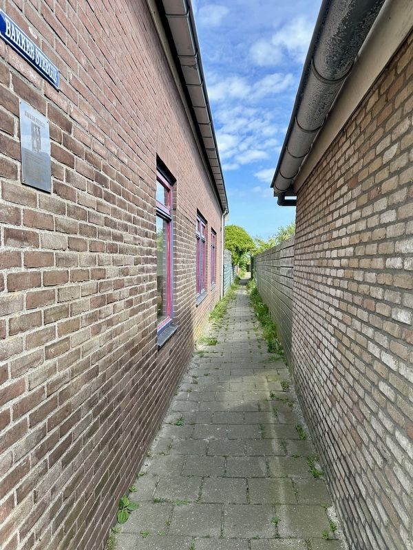
2. Looking north on Bakker Steegie / Bakker Alley
Credits. This page was last revised on June 12, 2026. It was originally submitted on June 12, 2026, by Andrew Ruppenstein of Lamorinda, California. This page has been viewed 7 times since then. Photos: 1, 2. submitted on June 12, 2026, by Andrew Ruppenstein of Lamorinda, California.
