Oakville in Halton Region, Ontario — Central Canada (North America)
St. Mary’s School

Photographed by Tim Boyd, June 10, 2026
1. St. Mary’s School Marker
On the east side of this block (Block 35, Lots B, C, E and F) once stood St. Mary's School.
St. Andrew's has played an important role in the history of Catholic education in Ontario from the primary to post-secondary levels. The first resident pastor, Reverend Jeremiah Ryan, built St. Mary's. The two-storey clapboard school, completed in 1860, was the first Catholic school between Toronto and Hamilton. Fr. Ryan also purchased the southwest corner of King and Reynolds and established a convent for the Sisters who taught at the school. This home also served as a school for children of all denominations. As well, Fr. Ryan, an astute businessman, left a large sum, in trust, to his nephews (Fr. Lawrence Brennan and Fr. Patrick Ryan), who came from Ireland and became Basilian priests. With the money, Fr. Brennan purchased 50 acres of farmland in north Toronto (later, the site for St. Michael's College School). The sale of part of this land funded the Kelly Library at the University of St. Michael's College. In 1880, two lots of land on the west side of Reynolds, extending from Lakeshore to Robinson Streets, were transferred
this page online
St. Mary's was a community hub. A venue for meetings, bazaars, choir practices, as well as wedding and funeral receptions, St. Mary's was also the mother school from which new schools found life. In 1978, St. Mary's Anglophone students were moved to St. James and St. Vincent schools, and St. Mary's became Ecole Ste. Marie, Oakville's first French language school. Sadly, the school was demolished in 1987.
Topics. This historical marker is listed in these topic lists: Education • Religion & Religious Structures. A significant historical year for this entry is 1860.
Location. 43° 26.841′ N, 79° 39.761′ W. Marker is in Oakville, Ontario, in Halton Region. It is at the intersection of King Street and Allen Street on King Street. Touch for map. Marker is at or near this postal address: 340 King St, Oakville ON L6J L6J, Canada. Touch for directions.

Regionally, this marker is in
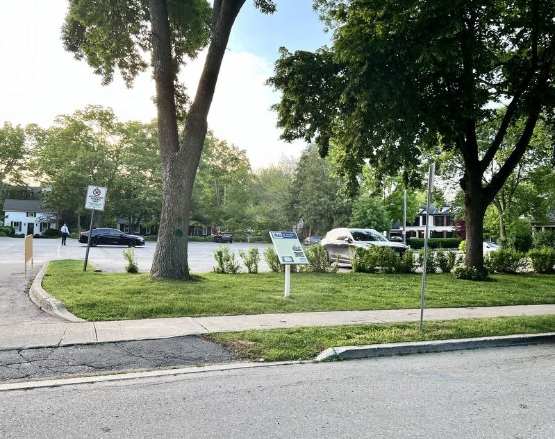
Photographed by Tim Boyd, June 10, 2026
2. St. Mary’s School Marker
Other nearby markers. At least 8 other markers are within walking distance of this marker: St. Andrew’s Parish (within shouting distance of this marker); Business on the “Main Street” (approx. half a kilometer away); Lakeshore Road Taverns (approx. half a kilometer away); Then and Now (approx. half a kilometer away); Leading Citizens (approx. half a kilometer away); St. Jude’s Anglican (approx. 0.6 kilometers away); Heritage Homes of Trafalgar Road and George's Square (approx. 0.6 kilometers away); The Underground Railroad (approx. 0.6 kilometers away). Touch for a list and map of all markers in Oakville.
Credits. This page was last revised on June 12, 2026. It was originally submitted on June 12, 2026, by Tim Boyd of Hamilton, Ontario. This page has been viewed 9 times since then. Photos: 1, 2. submitted on June 12, 2026, by Tim Boyd of Hamilton, Ontario. • Andrew Ruppenstein was the editor who published this page.
