Shorewood in Milwaukee County, Wisconsin — The American Midwest (Great Lakes)
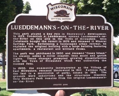
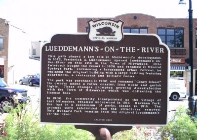
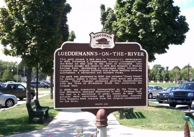
Lueddemann’s-On-The-River
The park was purchased in 1900 and renamed “Coney Island.” Its owners added a roller coaster, loud music and garish lights. These changes prompted growing dissatisfaction with the Town of Milwaukee which was collecting license fees.
In 1900, the community incorporated as the Village of East Milwaukee, renamed Shorewood in 1917. Ravenna Park, the last in a succession of parks, closed in 1916. The grounds were subdivided and the structures removed. Only Hubbard Park remains from the original Lueddemann’s-On-The-River.
Erected 2000. (Marker Number 446.)
Topics and series. This historical marker is listed in this topic list: Entertainment. In addition, it is included in the Wisconsin Historical Society series list. A significant historical year for this entry is 1872.
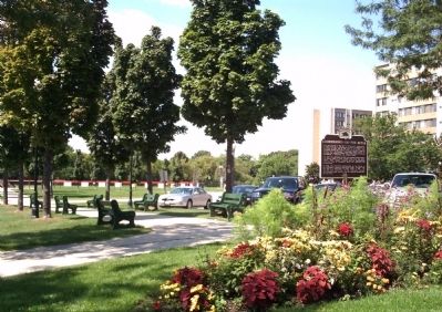
Location. 43° 4.944′ N, 87° 53.271′ W. Marker is in Shorewood, Wisconsin , in Milwaukee County. Marker is on North Oakland Avenue just north of East Edgewood Avenue, on the right when traveling south. Touch for map. Marker is at or near this postal address: 3500 N Oakland Ave, Milwaukee WI 53211, United States of America. Touch for directions.
Other nearby markers. At least 8 other markers are within walking distance of this marker. Old Sauk Trail (approx. 0.2 miles away); Carl Sandburg Hall (approx. 0.4 miles away); Shorewood Village Hall (approx. 0.4 miles away); Shorewood High School (approx. 0.4 miles away); Golda Meir (approx. half a mile away); Shorewood Armory (approx. half a mile away); Milwaukee-Downer College Buildings (approx. half a mile away); Milwaukee-Downer College (approx. 0.6 miles away). Touch for a list and map of all markers in Shorewood.
Credits. This page was last revised on June 16, 2016. It was originally submitted on April 30, 2010, by Paul Fehrenbach of Germantown, Wisconsin. This page has been viewed 1,170 times since then and 45 times this year. Photos: 1, 2, 3, 4. submitted on April 30, 2010, by Paul Fehrenbach of Germantown, Wisconsin. • Kevin W. was the editor who published this page.


