
Upper Canada Village in Morrisburg in Stormont Dundas and Glengarry United Counties, Ontario — Central Canada (North America)
Robertson Stable
⎯⎯⎯
Écurie Robertson
| — | Upper Canada Village | — |
Photographed by Robert Rusaw, June 5, 2026
1. Robertson Stable Marker

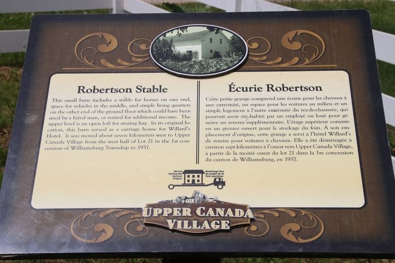
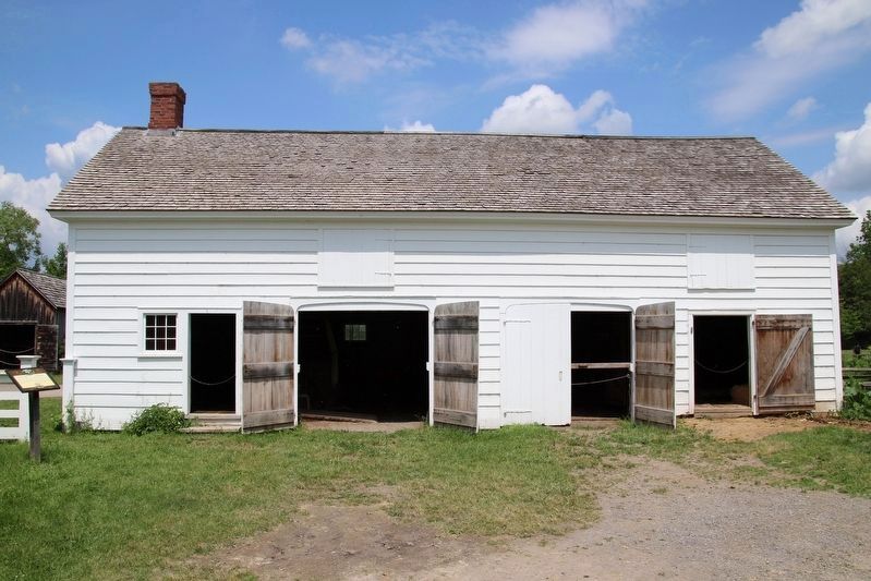
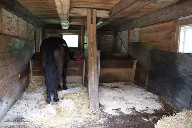
This small barn includes a stable for horses on one end, space for vehicles in the middle, and simple living quarters on the other end of the ground floor which could have been used by a hired man, or rented for additional income. The upper level is an open loft for storing hay. In its original location, this barn served as a carriage house for Willard's Hotel. It was moved about seven kilometers west to Upper Canada Village from the west half of Lot 21 in the 1st concession of Williamsburg Township in 1957.
Cette petite grange comprend une écurie pour les chevaux à une extrémité, un espace pour les voitures au milieu et un simple logement à l'autre extrémité du rez-de-chaussée, qui pourrait avoir été habité par un employé ou loué pour gé nérer un revenu supplémentaire. L'étage supérieur consiste en un grenier ouvert pour le stockage du foin. À son em- placement d'origine, cette grange a servi à l'hôtel Willard's de remise pour voitures à chevaux. Elle a été déménagée à environ sept kilomètres à l'ouest vers Upper Canada Village, à partir de la moitié ouest du lot 21 dans la 1re concession du canton de Williamsburg, en 1957.
Erected by Upper
this page online
Topics. This historical marker is listed in this topic list: Industry & Commerce. A significant historical year for this entry is 1957.
Location. 44° 56.814′ N, 75° 4.016′ W. Marker is in Morrisburg, Ontario, in Stormont Dundas and Glengarry United Counties. It is in Upper Canada Village. It can be reached from Upper Canada Village. This marker is located in Upper Canada Village. Touch for map. Marker is at or near this postal address: Upper Canada Village, Morrisburg ON K0C 1X0, Canada. Touch for directions.

Regionally, this marker is in Eastern Ontario. It is also in Central Canada. Globally, it is in North America, the Western Hemisphere, the Western World, and the Anglosphere. Historically, it finds itself in what was once a British colony, the Viceroyalty of New France, the Haudenosaunee (Iroquois) Confederacy, and Rupert’s Land.
Other nearby markers. At least 8 other markers are within walking distance of this marker: Fire Engine House / Poste de Pompiers (a few steps from this marker); Cook's Tavern / Taverne Cook (within shouting distance of this marker); Robertson House / La Maison des Robertson
Photographed by Robert Rusaw, June 12, 2026
2. Robertson Stable and Marker

Photographed by Robert Rusaw, June 12, 2026
3. Robertson Stable

Photographed by Robert Rusaw, June 12, 2026
4. Robertson Stable

Photographed by Robert Rusaw, June 12, 2026
5. Robertson Stable
Photographed by Robert Rusaw, June 12, 2026
6. Robertson Stable
Credits. This page was last revised on June 16, 2026. It was originally submitted on June 12, 2026, by Robert Rusaw of Massena, New York. This page has been viewed 8 times since then. Photos: 1, 2, 3, 4, 5, 6. submitted on June 12, 2026, by Robert Rusaw of Massena, New York. • Andrew Ruppenstein was the editor who published this page.
