Mantua Center in Portage County, Ohio — The American Midwest (Great Lakes)
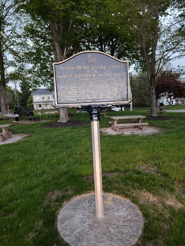
Mantua Center Historic District on the National Register of Historic Places

Photographed by Craig Doda, May 9, 2026
1. Mantua Center Historic District on the National Register of Historic Places Marker
This marker recognizes and records Mantua Center's history as an early Connecticut Western Reserve crossroads township center, with the first settlers arriving in 1798.
In 1974, six historic structures plus the grass lawn Public Commons, all dating from 1836-1840, were placed on The National Register.
In 2023, a boundary expansion which further defined historic Mantua Center and its settlement added farms, cemeteries, and schools spanning the years 1822-1914 to the National Register.
Erected 2025 by The Mantua Restoration Society, Inc.
Topics. This historical marker is listed in these topic lists: Architecture • Settlements & Settlers. A significant historical year for this entry is 1798.
Location. 41° 18.566′ N, 81° 14.664′ W. Marker is in Mantua Center, Ohio, in Portage County. It is on Twinsburg-Warrend Road (Ohio Route 82) near Mantua Center Road, on the right when traveling west. Touch for map. Marker is at or near this postal address: 4112 OH-82, Mantua OH 44255, United States of America. Touch for directions.

Regionally, this marker is in Greater Cleveland and in the Western Reserve. It is also in
this page online
Other nearby markers. At least 8 other markers are within 2 miles of this marker, measured as the crow flies: Mantua Veterans Memorial (a few steps from this marker); Mantua Center Historic District (within shouting distance of this marker); Mantua Center Christian Church (within shouting distance of this marker); Mantua Township Hall (within shouting distance of this marker); Lest We Forget (approx. 0.2 miles away); Oliver and Rosetta Snow (approx. 1.1 miles away); Village Government Center Building History (approx. 2.1 miles away); War Memorial (approx. 2.1 miles away). Touch for a list and map of all markers in Mantua Center.
Also see . . . Mantua Center Historic District Boundary Increase. The Mantua Center Historic District is a rural crossroads community located at the intersection of State Route 82 and Mantua Center Road, situated
Photographed by Craig Doda, May 9, 2026
2. Mantua Center Historic District on the National Register of Historic Places Marker
(#1) 1836-1840 Greek Revival Mantua Township Town Hall, 4122 St. Rt. 82 (Photos 1,2) ;
(#2) 1839-1840 Greek Revival Disciples of Christ Church 4118 St. Rt. 82 which was remodeled in 1871-72 and received a 1952 north addition1 (Photo 4);
(#3) 1838, 1867 Greek Revival with Gothic Revival influences Methodist Episcopal Church (Civic Center), 11670 Mantua Center Road (Photos 5,7);
(#4) the 1835 Public Common2 flanking Mantua Center Road to the south of St. Rt. 82 (Photo 8);
(#5) 1835 Greek Revival White-Carlton House, part of an old store operated by Calvin White and moved to 11695 Mantua Center Road in 1860 by Reverend Orvil Blake (Photos 9, 18);3 and,
(#6) 1840 Greek Revival Baker-Carlton House,4 4103 St. Rt. 82 (Photos 11,18). (Submitted on June 13, 2026, by Craig Doda of Napoleon, Ohio.)
Credits. This page was last revised on June 16, 2026. It was originally submitted on June 13, 2026, by Craig Doda of Napoleon, Ohio. This page has been viewed 12 times since then. Photos: 1, 2. submitted on June 13, 2026, by Craig Doda of Napoleon, Ohio. • Devry Becker Jones was the editor who published this page.
