Tomkins Cove in Stony Point in Rockland County, New York — The American Northeast (Mid-Atlantic)
Tomkins Cove Library
Est 1968
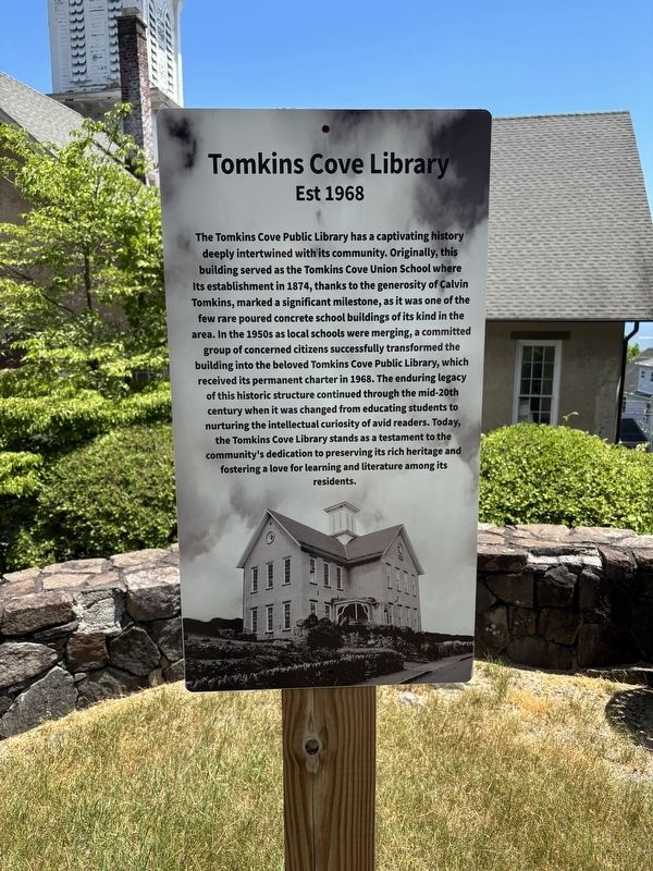
Photographed by Tristan Barber, June 13, 2026
1. Tomkins Cove Library Marker
The Tomkins Cove Public Library has a captivating history deeply intertwined with its community. Originally, this building served as the Tomkins Cove Union School where Its establishment in 1874, thanks to the generosity of Calvin Tomkins, marked a significant milestone, as it was one of the few rare poured concrete school buildings of its kind in the area. In the 1950s as local schools were merging, a committed group of concerned citizens successfully transformed the building into the beloved Tomkins Cove Public Library, which received its permanent charter in 1968. The enduring legacy of this historic structure continued through the mid-20th century when it was changed from educating students to nurturing the intellectual curiosity of avid readers. Today, the Tomkins Cove Library stands as a testament to the community's dedication to preserving its rich heritage and fostering a love for learning and literature among its residents.
Topics. This historical marker is listed in this topic list: Education. A significant historical year for this entry is 1874.
Location. 41° 15.496′ N, 73° 59.039′ W. Marker is in Stony Point,
this page online

Regionally, this marker is in the Hudson Valley and in the New York City Metropolitan Area. It is also in the American Northeast, in the Mid-Atlantic, and on the Eastern Seaboard. Globally, it is in the North Atlantic Region, North America, the Western Hemisphere, the Western World, and the Anglosphere. Historically, it finds itself in what was once New Netherland and also one of the original Thirteen Colonies.
Other nearby markers. At least 8 other markers are within 2 miles of this marker, measured as the crow flies: Buckberg Mountain (approx. 0.4 miles away); Buckberg Mountain Road (approx. ¾ mile away); Wayne -Washington Lookout (approx. ¾ mile away); King’s Ferry (approx. one mile away); Intrigue at King’s Ferry (approx. 1.2 miles away); The Path to Victory (approx. 1.2 miles away); A Crucial Crossing (approx. 1.2 miles away); Fraser’s Highlanders (approx. 1.2 miles away). Touch for a list and map of all markers in Stony Point.
Another marker is no longer nearby. King’s Ferry (was approx. 1.2 miles away but has been permanently removed).
Also see . . . Tomkins Cove Public Library. (Submitted on June 18, 2026, by Michael Herrick of Southbury, Connecticut.)
Credits. This page was last revised on June 18, 2026. It was originally submitted on June 13, 2026, by Tristan Barber of Stony Point, Rockland County, NY USA. This page has been viewed 25 times since then. Photo 1. submitted on June 13, 2026, by Tristan Barber of Stony Point, Rockland County, NY USA. • Michael Herrick was the editor who published this page.
Editor’s want-list for this marker. A wide view photo of the marker and its surroundings. • Can you help?
