Monroe City in Monroe County, Missouri — The American Midwest (Upper Plains)
Hannibal & St. Joseph Railroad
Monroe City
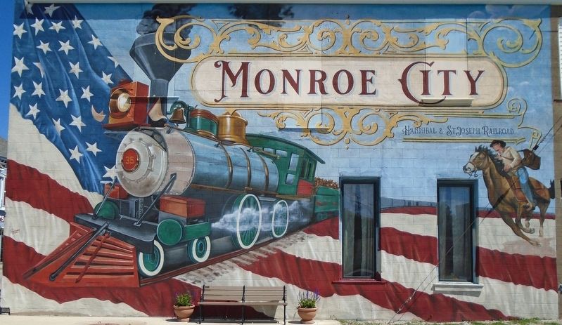
Photographed by William Fischer, Jr., May 27, 2026
1. Hannibal & St. Joseph Railroad Mural
[Title is text]
Topics. This historical marker is listed in these topic lists: Communications • Railroads & Streetcars • Settlements & Settlers.
Location. 39° 39.178′ N, 91° 44.069′ W. Marker is in Monroe City, Missouri, in Monroe County. It is at the intersection of Main Street (U.S. 24) and the railroad grade crossing, on the right when traveling north on Main Street. Touch for map. Marker is at or near this postal address: 100 North Main Street, Monroe City MO 63456, United States of America. Touch for directions.

Regionally, this marker is in North Missouri and in Mark Twain Country. It is also in the American Midwest, in the Lewis & Clark Corridor, and in the Corn Belt. Globally, it is in North America, the Western Hemisphere, the Western World, and the Anglosphere. Historically, it finds itself in what was once the territory of the Mississippian Culture, the Louisiana Purchase, and the Antebellum South.
Other nearby markers. At least 6 other markers are within 12 miles of this marker, measured as the crow flies: James Monroe (about 400
this page online
Regarding Hannibal & St. Joseph Railroad. Monroe City was along the original route of the Hannibal & St. Joseph Railroad. The railroad carried mail to St. Joe that was designated to be carried on the Pony Express, hence the rider on the right side of the mural.
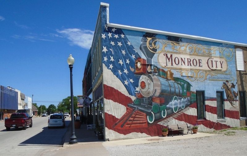
Photographed by William Fischer, Jr., May 27, 2026
2. Hannibal & St. Joseph Railroad Mural
Looking north
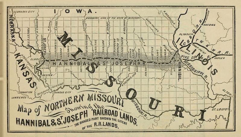
Photographed by Unknown, circa 1860
3. Hannibal & St. Joseph Railroad Map
Public domain
Credits. This page was last revised on June 14, 2026. It was originally submitted on June 14, 2026, by William Fischer, Jr. of Reynoldsburg, Ohio. This page has been viewed 12 times since then. Photos: 1, 2, 3. submitted on June 14, 2026, by William Fischer, Jr. of Reynoldsburg, Ohio.
