Swope Park in Kansas City in Jackson County, Missouri — The American Midwest (Upper Plains)
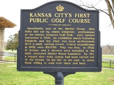
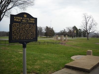
Kansas City's First Public Golf Course
Immediately east of the Shelter House, nine holes laid out by James Dalgleish, professional at the nearby Evanston Golf Club, were opened September 5, 1906. An exhibition match featuring Dalgleish and the other two local professionals drew a small, curious crowd. Course expenditures in 1906 were $347.89. Play was free. In 1908, 21 lockers and 2 showers were installed in the unlit, unheated Shelter House basement. By 1911, a rugged nine-hole course had been carved out of the forests "on the hill" to the east, to serve those willing to walk over there and back.
Erected by Native Sons of Kansas City.
Topics and series. This historical marker is listed in this topic list: Sports. In addition, it is included in the Kansas City - Native Sons and Daughters of Greater Kansas City series list. A significant historical date for this entry is September 5, 1906.
Location. 39° 0.402′ N, 94° 32.392′ W. Marker is in Kansas City, Missouri, in Jackson County. It is in Swope Park. Marker is on Swope Parkway, 0.2 miles east of Meyer Boulevard. Marker is located on the north side of the Battle of Westport Visitor's Center. Touch for map. Marker is at or near this postal address: 6601 Swope Parkway, Kansas City MO 64132, United States of America. Touch for directions.
Other nearby markers. At least 8 other markers are within walking distance of this marker. Delbert J. Haff (approx. ¼ mile away); "Boston" Adams' House (approx. 0.3 miles away); Battle of Westport (approx. half a mile away); Pratt's Artillery (approx. 0.7 miles away); Replica of the Statue of Liberty (approx. 0.9 miles away); Byram's Ford Battlefield (approx. 0.9 miles away); Harrisonville Road (Prospect) (approx. 0.9 miles away); Battle of the Big Blue (approx. one mile away). Touch for a list and map of all markers in Kansas City.
Also see . . . Swope Park. Wikipedia entry (Submitted on May 2, 2010, by Thomas Onions of Olathe, Kansas.)
Credits. This page was last revised on February 10, 2023. It was originally submitted on May 2, 2010, by Thomas Onions of Olathe, Kansas. This page has been viewed 1,369 times since then and 44 times this year. Photos: 1, 2. submitted on May 2, 2010, by Thomas Onions of Olathe, Kansas.

