North Mankato in Nicollet County, Minnesota — The American Midwest (Upper Plains)
Early North Mankato Government
Photographed by Koen Schneidawind, June 16, 2026
1. Early North Mankato Government Marker
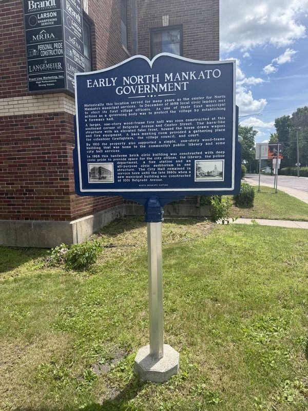
Historically this location served for many years as the center for North Mankato's municipal services. In December of 1898 local civic leaders met to elect its first village officers. As one of their first municipal actions as a governing body was to protect the village by establishing a fireman's hall.
A larger, one-story wood-frame fire hall was soon constructed at this southeast corner of Belgrade Avenue and Center Street. The barn-like structure with an elevated false front, housed the horse drawn wagons and fire equipment. A back meeting room provided a gathering place for volunteer firefighters, the village council, and court.
By 1910 the property also supported a simple, one-story wood-frame building that was home to the community's public library and some city hall services.
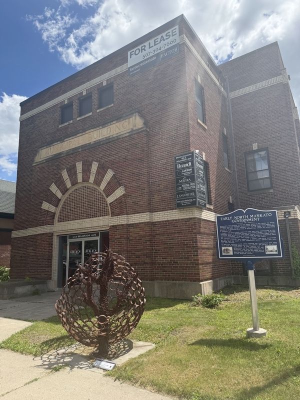
In 1926 this handsome brick civic building was constructed with deep civic pride to provide space for the city offices, the library, the police department, a fire station and an all-pupose civic auditorium in one structure. The City Hall remained in service here in the late 1960s when a new municipal building was constructed at 1001
this page online
Erected by North Mankato History.
Topics. This historical marker is listed in this topic list: Government & Politics. A significant historical month for this entry is December 1898.
Location. 44° 10.197′ N, 94° 0.812′ W. Marker is in North Mankato, Minnesota, in Nicollet County. It is at the intersection of Belgrade Avenue and Center Street, on the right when traveling east on Belgrade Avenue. Touch for map. Marker is at or near this postal address: 443 Belgrade Avenue, Mankato MN 56003, United States of America. Touch for directions.

Regionally, this marker is in Southwest Minnesota and specifically in the Minnesota River Valley. It is also in the American Midwest and in the Corn Belt. Globally, it is in North America, the Western Hemisphere, the Western World, and the Anglosphere. Historically, it finds itself in what was once Rupert’s Land, the territory of the Mississippian Culture, and the Louisiana Purchase.
Other nearby markers. At least 8 other markers are within walking distance of this marker: Marigold Dairy (approx. 0.2 miles away); Wheeler Park Brickyard (approx. 0.2 miles away); Ho-Chunk / Winnebago
Photographed by Koen Schneidawind, June 16, 2026
2. Early North Mankato Government Marker
Credits. This page was last revised on July 25, 2026. It was originally submitted on June 16, 2026, by Koen Schneidawind of Mankato, Minnesota. This page has been viewed 7 times since then. Photos: 1, 2. submitted on June 16, 2026, by Koen Schneidawind of Mankato, Minnesota. • Andrew Ruppenstein was the editor who published this page.
