North Mankato in Nicollet County, Minnesota — The American Midwest (Upper Plains)
Tanley Field
Photographed by Koen Schneidawind, June 16, 2026
1. Tanley Field Marker
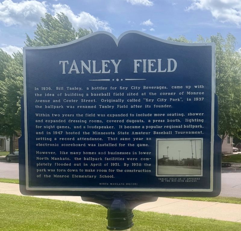
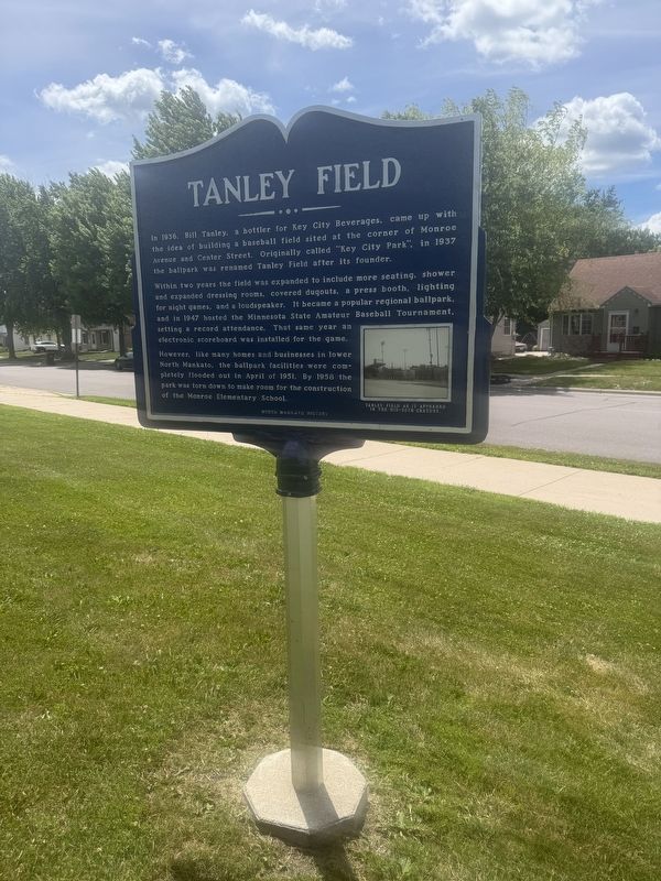
Within two years the field was expanded to include more seating, shower and expanded dressing rooms, covered dugouts, a press booth, lighting for night games, and a loudspeaker. It became a popular regional ballpark, and in 1947 hosted the Minnesota State Amateur Baseball Tournament, setting a record attendance. That same year an electronic scoreboard was installed for the game.
However, like many homes and businesses in lower North Mankato, the ballpark facilities were completely flooded out in April of 1951. In 1958 the park was torn down to make room for the construction of the Monroe Elementary School.
Erected by North Mankato History.
Topics. This historical marker is listed in this topic list: Sports. A significant historical month for this entry is April 1951.
Location. 44° 10.522′ N, 94° 0.806′ W. Marker is in North Mankato, Minnesota, in Nicollet County.
this page online

Regionally, this marker is in Southwest Minnesota and specifically in the Minnesota River Valley. It is also in the American Midwest and in the Corn Belt. Globally, it is in North America, the Western Hemisphere, the Western World, and the Anglosphere. Historically, it finds itself in what was once Rupert’s Land, the territory of the Mississippian Culture, and the Louisiana Purchase.
Other nearby markers. At least 8 other markers are within walking distance of this marker: Wheeler Park Brickyard (approx. ¼ mile away); Early North Mankato Government (approx. 0.4 miles away); Marigold Dairy (approx. 0.4 miles away); Riverfront Park (approx. 0.7 miles away); Minnesota River Steamboating (approx. 0.7 miles away); Ho-Chunk / Winnebago (approx. 0.7 miles away); Reconciliation and Remembrance (approx. 0.7 miles away); Reconciliation Park (approx. 0.7 miles away). Touch for a list and map
Photographed by Koen Schneidawind, June 16, 2026
2. Tanley Field Marker
Photographed by Koen Schneidawind, June 16, 2026
3. Tanley Field Marker
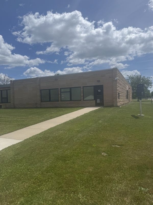
The building in the background is Monroe Elementary School.
Credits. This page was last revised on July 3, 2026. It was originally submitted on June 16, 2026, by Koen Schneidawind of Mankato, Minnesota. This page has been viewed 21 times since then. Photos: 1. submitted on July 3, 2026, by Koen Schneidawind of Mankato, Minnesota. 2, 3. submitted on June 16, 2026, by Koen Schneidawind of Mankato, Minnesota. • Andrew Ruppenstein was the editor who published this page.
