Tooele in Tooele County, Utah — The American Mountains (Southwest)
Mining in Tooele
Photographed by Jeremy Snow, June 12, 2026
1. Mining in Tooele Marker
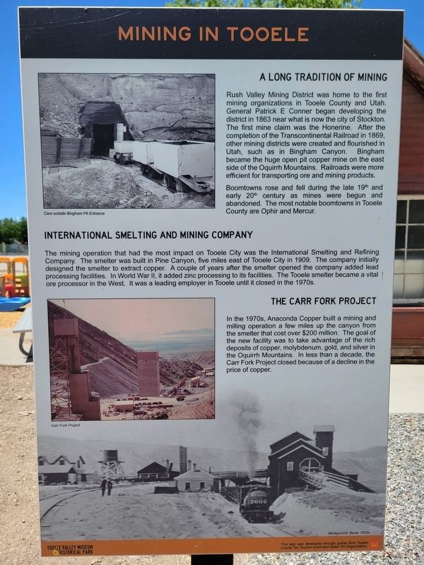
A Long Tradition of Mining
Rush Valley Mining District was home to the first mining organizations in Tooele County and Utah. General Patrick E Conner began developing the district in 1863 near what is now the city of Stockton. The first mine claim was the Honerine. After the completion of the Transcontinental Railroad in 1869, other mining districts were created and flourished in Utah, such as in Bingham Canyon. Bingham became the huge open pit copper mine on the east side of the Oquirrh Mountains. Railroads were more efficient for transporting ore and mining products.
Boomtowns rose and fell during the late 19th and early 20th century as mines were begun and abandoned. The most notable boomtowns in Tooele County are Ophir and Mercur.
International Smelting and Mining Company
The mining operation that had the most impact on Tooele City was the International Smelting and Refining Company. The smelter was built in Pine Canyon, five miles east of Tooele City in 1909. The company initially designed the smelter to extract copper. A couple of years after the smelter opened the company added lead processing
this page online
The Carr Fork Project
In the 1970s, Anaconda Copper built a mining and milling operation a few miles up the canyon from the smelter that cost over $200 million. The goal of the new facility was to take advantage of the rich deposits of copper, molybdenum, gold, and silver in the Oquirrh Mountains. In less than a decade, the Carr Fork Project closed because of a decline in the price of copper.
Erected by Tooele Valley Museum Historical Park.
Topics. This historical marker is listed in this topic list: Industry & Commerce. A significant historical year for this entry is 1863.
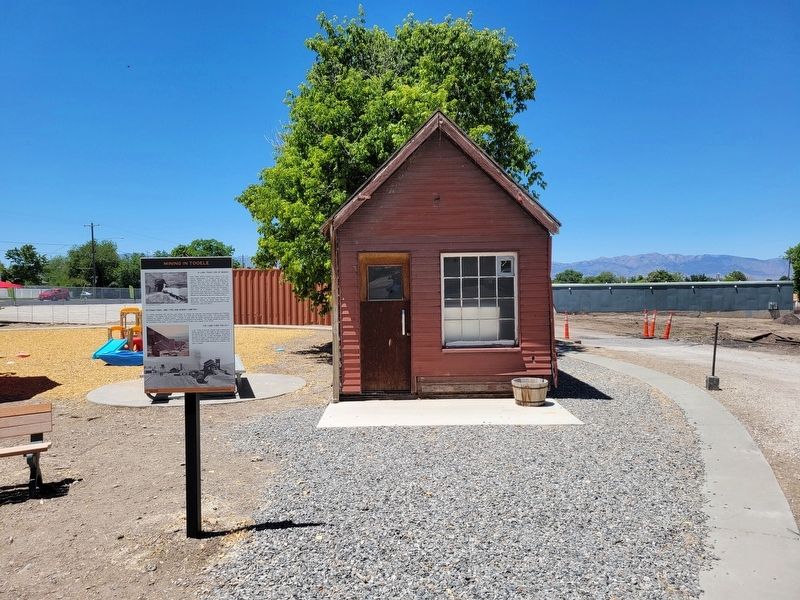
Location. 40° 31.855′ N, 112° 17.365′ W. Marker is in Tooele, Utah, in Tooele County. It can be reached from the intersection of North Broadway Street and E Vine Street, on the right when traveling north. Marker located in the the Tooele Valley Museum Historical Park. Touch for map. Marker is at or near this postal address: 35 N Broadway Street, Tooele
Photographed by Jeremy Snow, June 12, 2026
2. Mining in Tooele Marker

Regionally, this marker is in the Wasatch Front, in the West Desert, and in Greater Salt Lake. It is also in the American Mountain West and on the Colorado Plateau. Globally, it is in North America, the Rocky Mountains, the Western Hemisphere, the Western World, and the Anglosphere. Historically, it finds itself in what was once New Spain and also Mexico’s Alta California.
Other nearby markers. At least 8 other markers are within walking distance of this marker: Railroads in Tooele County (a few steps from this marker); Working on the Railway (within shouting distance of this marker); The Military in Tooele (within shouting distance of this marker); Tooele Valley Railroad Complex (within shouting distance of this marker); The Caboose (within shouting distance of this marker); The Powerhouse (about 300 feet away, measured in a direct line); Tooele Valley Railway Depot (about 400 feet away); Tooele Carnegie Free Public Library (approx. 0.4 miles away). Touch for a list and map of all markers in Tooele.
Credits. This page was last revised on June 17, 2026. It was originally submitted on June 16, 2026, by Jeremy Snow of Cedar City, Utah. This page has been viewed 13 times since then. Photos: 1, 2. submitted on June 16, 2026, by Jeremy Snow of Cedar City, Utah. • Andrew Ruppenstein was the editor who published this page.
