Downtown Riverside in Riverside County, California — The American West (Pacific Coastal)
The Tetley Buildings
1925
| — | Cultural Heritage Board Landmark | — |
Photographed by Volt Craft, June 16, 2026
1. Tetley Buildings Marker
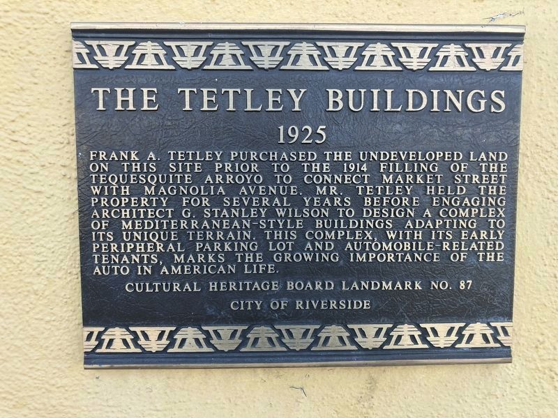
Frank A. Tetley purchased the undeveloped land on this site prior to the 1914 filling of the Tequesquite Arroyo to connect Market Street with Magnolia Avenue. Mr. Tetley held the property for several years before engaging architect G. Stanley Wilson to design a complex mediterranean-style buildings adapting to its unique terrain. This complex, with its early peripheral parking lot and automobile-related tenants, marks the growing importance of the auto in American life.
Erected by Cultural Heritage Board - City of Riverside. (Marker Number 87.)
Topics and series. This historical marker is listed in this topic list: Architecture. In addition, it is included in the Riverside Cultural Heritage Board Landmarks series list. A significant historical year for this entry is 1925.
Location. 33° 58.627′ N, 117° 22.748′ W. Marker is in Riverside, California, in Riverside County. It is in Downtown Riverside. It is on Market Street north of 14th Street, on the right. Touch for map. Marker is at or near this postal address: 4344 Market Street, Riverside CA 92501, United States of America. Touch for directions.

Regionally, this
this page online
Other nearby markers. At least 8 other markers are within walking distance of this marker: J.R. Willis Building (1927) (within shouting distance of this marker); The De Anza Statue and Newman Park (about 300 feet away, measured in a direct line); Grant Elementary School (approx. 0.2 miles away); Shiels House (approx. 0.2 miles away); John G. Gabbert (approx. 0.2 miles away); M. H. Simons Undertaking Chapel (approx. ¼ mile away); Riverside County Courthouse (approx. ¼ mile away); a different marker also named Riverside County Courthouse (approx. ¼ mile away). Touch for a list and map of all markers in Riverside.
Regarding The Tetley Buildings. G. Stanley Wilson designed this Spanish Colonial style commercial complex of buildings for Frank A. Tetley, and construction
Photographed by Volt Craft, June 16, 2026
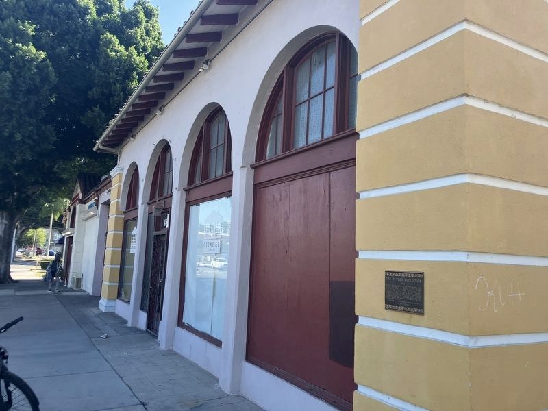
2. Tetley Buildings Marker
Also see . . . Landmarks of the City of Riverside (see #87). (Submitted on June 17, 2026, by Volt Craft of Riverside, California.)
Additional keywords. Auto, Car
Photographed by Volt Craft, June 26, 2026
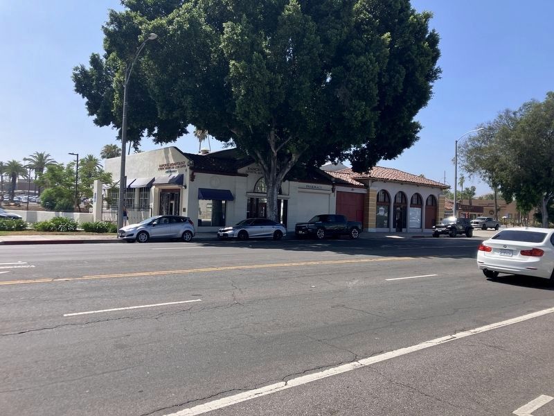
3. The Tetley Buildings Marker
Credits. This page was last revised on July 9, 2026. It was originally submitted on June 17, 2026, by Volt Craft of Riverside, California. This page has been viewed 18 times since then. Photos: 1, 2. submitted on June 17, 2026, by Volt Craft of Riverside, California. 3. submitted on June 29, 2026, by Volt Craft of Riverside, California. • Andrew Ruppenstein was the editor who published this page.
