Alderson in Cypress County, Alberta — Canada’s Prairie Region (North America)
District of Assiniboia, 1882
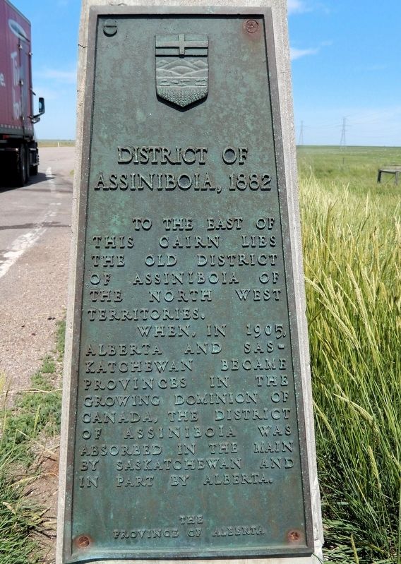
Photographed by Cosmos Mariner, June 28, 2022
1. District of Assiniboia, 1882 Marker
To the east of this cairn lies the old District of Assiniboia of the North West Territories.
When, in 1905, Alberta and Saskatchewan became provinces in the growing Dominion of Canada, the District of Assiniboia was absorbed in the main by Saskatchewan and in part by Alberta.
Erected by The Province of Alberta.
Topics. This historical marker is listed in this topic list: Political Subdivisions. A significant historical year for this entry is 1882.
Location. 50° 20.285′ N, 111° 22.784′ W. Marker is in Alderson, Alberta, in Cypress County. It is on Trans-Canada Highway (Provincial Highway 1) 2.2 kilometers west of Range Road 105, on the right when traveling west. The marker is in a pull-out on the north side of the highway. Touch for map. Marker is in this post office area: Alderson AB T0J 2N0, Canada. Touch for directions.

Regionally, this marker is in the Canadian Badlands. It is also in the Prairies. Globally, it is in North America, the Western Hemisphere, the Western World, and the Anglosphere. Historically, it finds itself in what was once a British colony and also Rupert’s Land.
Other nearby markers. At
this page online
Also see . . . District of Assiniboia (Wikipedia).
Excerpt: The (old) District of Assiniboia was a name used to describe the Red River Colony, mainly for official purposes, between 1812 and 1869. Nominally the district included all of the territory granted in the Selkirk Concession. However, much of this was ceded to the United States by the Treaty of 1818. The actual area of settlement, centered at present-day Winnipeg, was limited to the Red River valley between Lower Fort Garry and Pembina, and the Assiniboine River valley between Winnipeg and Portage la Prairie. The district was governed by a Hudson's Bay Company-appointed Governor of Assiniboia.(Submitted on June 20, 2026, by Cosmos Mariner of Cape Canaveral, Florida.)The (second) District of Assiniboia was created (1882) as a regional administrative district of Canada's North-West Territories. Most of it was absorbed into the Province of Saskatchewan in 1905, except for the westernmost quarter, which became part of Alberta. The east boundary of the
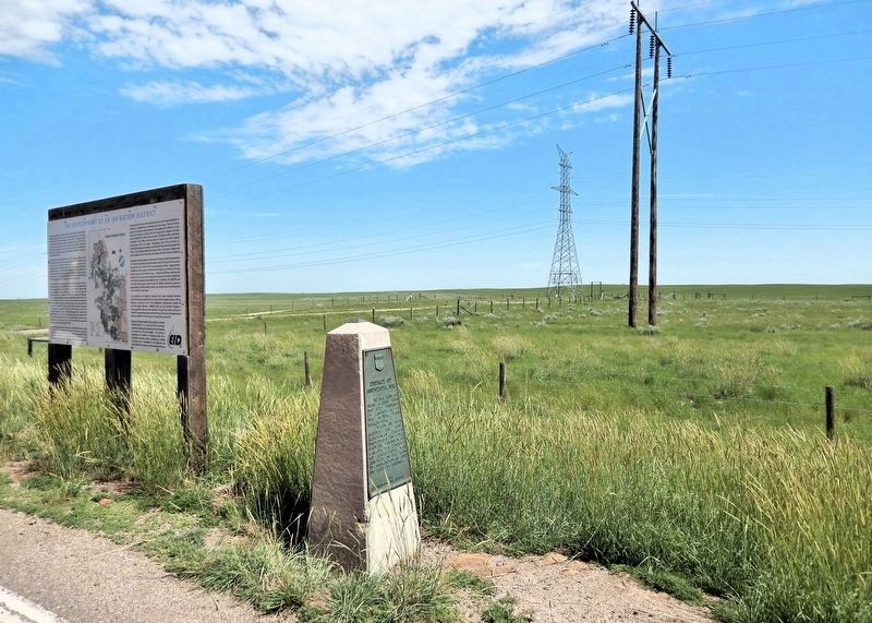
district coincided with the modern Manitoba–Saskatchewan boundary. The north boundary was the 9th Correction Line, approximately 52° north. The west boundary was the line between the 10th and 11th ranges west of the Fourth Meridian.Photographed by Cosmos Mariner, June 28, 20222. District of Assiniboia, 1882 MarkerLooking north from the Trans-Canada Highway pull-out.
Credits. This page was last revised on June 20, 2026. It was originally submitted on June 17, 2026, by Cosmos Mariner of Cape Canaveral, Florida. This page has been viewed 15 times since then. Photos: 1, 2. submitted on June 20, 2026, by Cosmos Mariner of Cape Canaveral, Florida.
